Distance to Steele, Kentucky

Calculating Your Route
Just a moment while we process your request...
Location Information
-
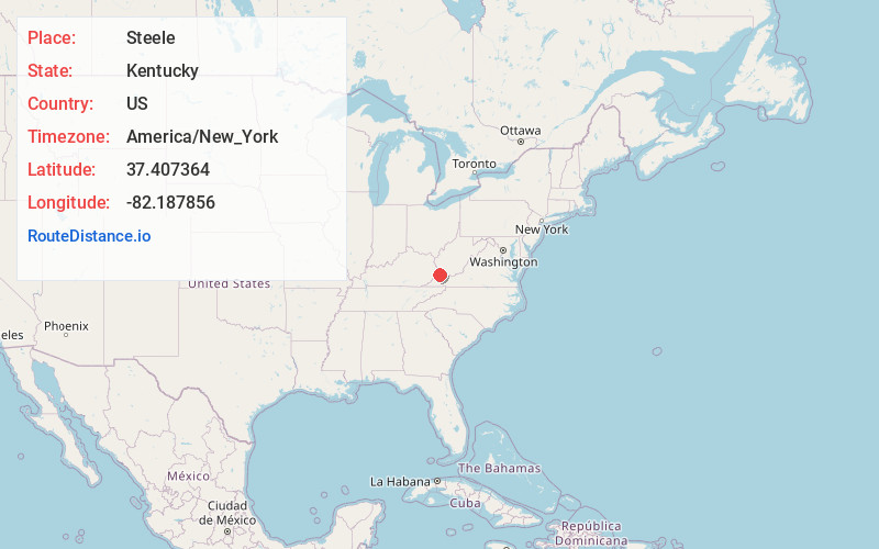
Full AddressSteele, KY 41566
-
Coordinates37.407364, -82.1878557
-
LocationSteele , Kentucky , US
-
TimezoneAmerica/New_York
-
Current Local Time10:41:54 PM America/New_YorkTuesday, July 1, 2025
-
Page Views0
About Steele
Steele is an unincorporated community in Pike County, Kentucky. Steele is 18.2 miles east-southeast of Pikeville. Steele has a post office with ZIP code 41566, which opened on February 5, 1906.
Nearby Places
Found 10 places within 50 miles

Fedscreek
3.2 mi
5.1 km
Fedscreek, KY 41524
Get directions
Dunlap
3.3 mi
5.3 km
Dunlap, KY 41524
Get directions
Big Rock
3.4 mi
5.5 km
Big Rock, VA 24603
Get directions
Toonerville
3.5 mi
5.6 km
Toonerville, KY 41566
Get directions
Mouthcard
4.0 mi
6.4 km
Mouthcard, KY 41548
Get directions
Conaway
4.0 mi
6.4 km
Conaway, VA 24603
Get directions
Biggs
4.6 mi
7.4 km
Biggs, KY 41548
Get directions
Paw Paw
4.7 mi
7.6 km
Paw Paw, KY 41553
Get directions
Nigh
4.8 mi
7.7 km
Nigh, KY 41524
Get directions
Coleman
5.1 mi
8.2 km
Coleman, KY 41553
Get directions
Location Links
Local Weather
Weather Information
Coming soon!
Location Map
Static map view of Steele, Kentucky
Browse Places by Distance
Places within specific distances from Steele
Short Distances
Long Distances
Click any distance to see all places within that range from Steele. Distances shown in miles (1 mile ≈ 1.61 kilometers).