Distance to Steeleville, Illinois

Calculating Your Route
Just a moment while we process your request...
Location Information
-
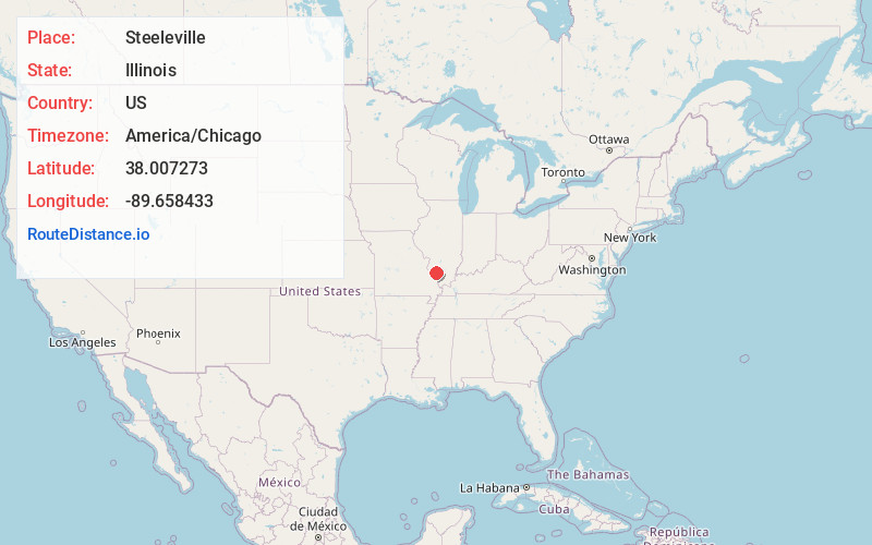
Full AddressSteeleville, IL 62288
-
Coordinates38.007273, -89.6584326
-
LocationSteeleville , Illinois , US
-
TimezoneAmerica/Chicago
-
Current Local Time12:48:22 AM America/ChicagoThursday, June 19, 2025
-
Page Views0
About Steeleville
Steeleville is a village in Randolph County, Illinois, United States. The population was 2,083 at the 2010 census.


Nearby Places
Found 10 places within 50 miles

Sparta
8.3 mi
13.4 km
Sparta, IL 62286
Get directions

Chester
11.0 mi
17.7 km
Chester, IL 62233
Get directions

Pinckneyville
15.9 mi
25.6 km
Pinckneyville, IL 62274
Get directions

Ste. Genevieve
21.3 mi
34.3 km
Ste. Genevieve, MO 63670
Get directions

Perryville
22.5 mi
36.2 km
Perryville, MO 63775
Get directions

Du Quoin
23.0 mi
37.0 km
Du Quoin, IL 62832
Get directions

Red Bud
23.1 mi
37.2 km
Red Bud, IL
Get directions

Murphysboro
24.3 mi
39.1 km
Murphysboro, IL 62966
Get directions

New Athens
25.0 mi
40.2 km
New Athens, IL 62264
Get directions

Nashville
27.7 mi
44.6 km
Nashville, IL 62263
Get directions
Location Links
Local Weather
Weather Information
Coming soon!
Location Map
Static map view of Steeleville, Illinois
Browse Places by Distance
Places within specific distances from Steeleville
Short Distances
Long Distances
Click any distance to see all places within that range from Steeleville. Distances shown in miles (1 mile ≈ 1.61 kilometers).