Distance to Stella, Wisconsin

Calculating Your Route
Just a moment while we process your request...
Location Information
-
Full AddressStella, WI
-
Coordinates45.6928027, -89.2476883
-
LocationStella , Wisconsin , US
-
TimezoneAmerica/Chicago
-
Current Local Time3:53:59 AM America/ChicagoSaturday, June 28, 2025
-
Page Views0
About Stella
Stella is a town in Oneida County, Wisconsin, United States. The population was 633 at the 2000 census. The unincorporated community of Starks is located within the town.


Nearby Places
Found 10 places within 50 miles

Starks
2.4 mi
3.9 km
Starks, WI 54501
Get directions
Roosevelt
3.5 mi
5.6 km
Roosevelt, WI 54501
Get directions
Gagen
5.7 mi
9.2 km
Gagen, WI 54501
Get directions
Malvern
6.1 mi
9.8 km
Malvern, WI 54501
Get directions

Sugar Camp
7.7 mi
12.4 km
Sugar Camp, WI 54501
Get directions

Pelican
8.0 mi
12.9 km
Pelican, WI 54501
Get directions

Three Lakes
8.4 mi
13.5 km
Three Lakes, WI 54562
Get directions

Rhinelander
8.8 mi
14.2 km
Rhinelander, WI 54501
Get directions

Monico
9.2 mi
14.8 km
Monico, WI 54501
Get directions
Atkins
11.0 mi
17.7 km
Atkins, WI 54511
Get directions
Location Links
Local Weather
Weather Information
Coming soon!
Location Map
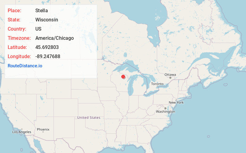
Static map view of Stella, Wisconsin
Browse Places by Distance
Places within specific distances from Stella
Short Distances
Long Distances
Click any distance to see all places within that range from Stella. Distances shown in miles (1 mile ≈ 1.61 kilometers).