Distance to Steptoe, Nevada

Calculating Your Route
Just a moment while we process your request...
Location Information
-
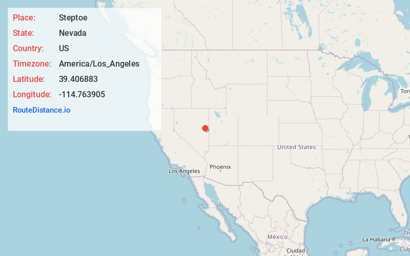
Full AddressSteptoe, NV 89301
-
Coordinates39.4068829, -114.7639054
-
LocationSteptoe , Nevada , US
-
TimezoneAmerica/Los_Angeles
-
Current Local Time10:46:25 PM America/Los_AngelesWednesday, June 18, 2025
-
Page Views0
Nearby Places
Found 8 places within 50 miles

McGill
0.8 mi
1.3 km
McGill, NV
Get directions

Ely
12.1 mi
19.5 km
Ely, NV 89301
Get directions

Ruth
15.0 mi
24.1 km
Ruth, NV 89319
Get directions

Preston
37.7 mi
60.7 km
Preston, NV
Get directions

Lund
40.2 mi
64.7 km
Lund, NV 89317
Get directions

Greens
43.5 mi
70.0 km
Greens, NV 89301
Get directions

Baker
43.8 mi
70.5 km
Baker, NV 89311
Get directions

Eskdale
48.1 mi
77.4 km
Eskdale, UT 84728
Get directions
Location Links
Local Weather
Weather Information
Coming soon!
Location Map
Static map view of Steptoe, Nevada
Browse Places by Distance
Places within specific distances from Steptoe
Short Distances
Long Distances
Click any distance to see all places within that range from Steptoe. Distances shown in miles (1 mile ≈ 1.61 kilometers).