Distance to Sterling, North Carolina
Location Information
-
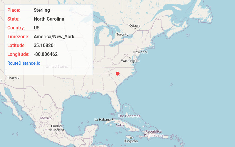
Full AddressSterling, Charlotte, NC 28134
-
Coordinates35.1082008, -80.8864621
-
NeighborhoodSterling
-
LocationCharlotte , North Carolina , US
-
TimezoneAmerica/New_York
-
Current Local Time8:00:47 PM America/New_YorkWednesday, May 14, 2025
-
Page Views0
Directions to Nearest Cities
Nearby Places
Found 10 places within 50 miles

Pineville
1.8 mi
2.9 km
Pineville, NC
Get directions

Fort Mill
7.7 mi
12.4 km
Fort Mill, SC
Get directions

Charlotte
8.3 mi
13.4 km
Charlotte, NC
Get directions

Riverview
8.7 mi
14.0 km
Riverview, SC 29708
Get directions

Lake Wylie
8.8 mi
14.2 km
Lake Wylie, SC
Get directions

Marvin
9.0 mi
14.5 km
Marvin, NC 28173
Get directions

Matthews
9.2 mi
14.8 km
Matthews, NC
Get directions

Weddington
9.3 mi
15.0 km
Weddington, NC
Get directions

Tega Cay
9.9 mi
15.9 km
Tega Cay, SC 29708
Get directions
India Hook
10.9 mi
17.5 km
India Hook, SC 29732
Get directions
Pineville
1.8 mi
2.9 km
Pineville, NC
Fort Mill
7.7 mi
12.4 km
Fort Mill, SC
Charlotte
8.3 mi
13.4 km
Charlotte, NC
Riverview
8.7 mi
14.0 km
Riverview, SC 29708
Lake Wylie
8.8 mi
14.2 km
Lake Wylie, SC
Marvin
9.0 mi
14.5 km
Marvin, NC 28173
Matthews
9.2 mi
14.8 km
Matthews, NC
Weddington
9.3 mi
15.0 km
Weddington, NC
Tega Cay
9.9 mi
15.9 km
Tega Cay, SC 29708
India Hook
10.9 mi
17.5 km
India Hook, SC 29732
Location Links
Local Weather
Weather Information
Coming soon!
Location Map
Static map view of Sterling, North Carolina
Browse Places by Distance
Places within specific distances from Sterling
Short Distances
Long Distances
Click any distance to see all places within that range from Sterling. Distances shown in miles (1 mile ≈ 1.61 kilometers).