Distance to Stevens Crossing, Massachusetts

Calculating Your Route
Just a moment while we process your request...
Location Information
-
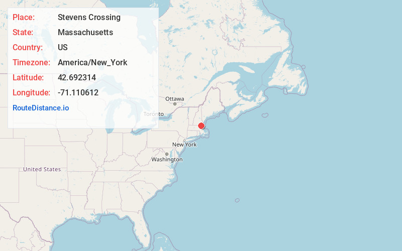
Full AddressStevens Crossing, North Andover, MA 01845
-
Coordinates42.6923138, -71.1106123
-
LocationNorth Andover , Massachusetts , US
-
TimezoneAmerica/New_York
-
Current Local Time5:52:11 AM America/New_YorkSunday, June 22, 2025
-
Page Views0
Nearby Places
Found 10 places within 50 miles

Marble Ridge Station
1.1 mi
1.8 km
Marble Ridge Station, North Andover, MA 01845
Get directions

North Andover
1.3 mi
2.1 km
North Andover, MA 01845
Get directions
Shawsheen Village
2.2 mi
3.5 km
Shawsheen Village, Andover, MA 01810
Get directions

Andover
2.7 mi
4.3 km
Andover, MA
Get directions
Shawsheen Heights
2.7 mi
4.3 km
Shawsheen Heights, Andover, MA 01810
Get directions

Lawrence
2.9 mi
4.7 km
Lawrence, MA
Get directions
Boxford Station
4.2 mi
6.8 km
Boxford Station, North Andover, MA 01845
Get directions

Methuen
4.7 mi
7.6 km
Methuen, MA 01844
Get directions
South Groveland
4.7 mi
7.6 km
South Groveland, Groveland, MA 01834
Get directions
East Parish
5.2 mi
8.4 km
East Parish, Boxford, MA 01921
Get directions
Location Links
Local Weather
Weather Information
Coming soon!
Location Map
Static map view of Stevens Crossing, Massachusetts
Browse Places by Distance
Places within specific distances from Stevens Crossing
Short Distances
Long Distances
Click any distance to see all places within that range from Stevens Crossing. Distances shown in miles (1 mile ≈ 1.61 kilometers).