Distance to Stewart County, Georgia

Calculating Your Route
Just a moment while we process your request...
Location Information
-
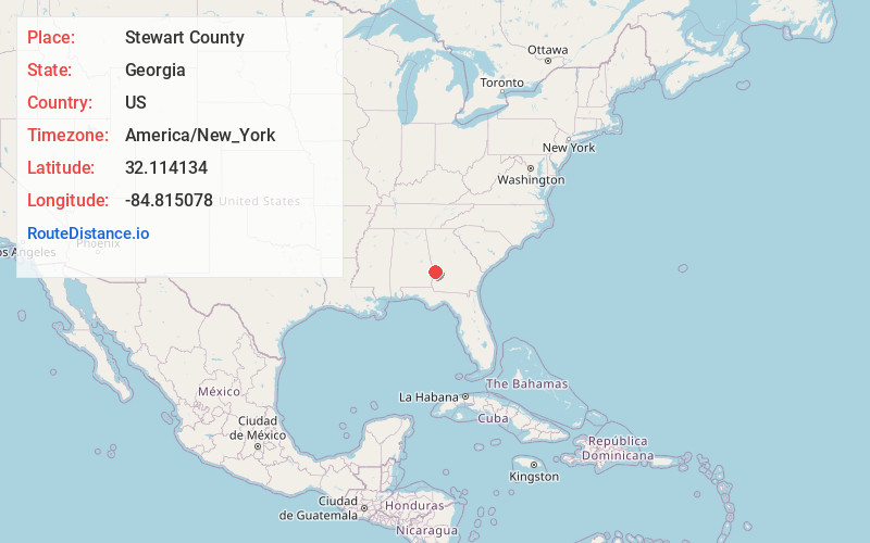
Full AddressStewart County, GA
-
Coordinates32.1141344, -84.8150781
-
LocationGeorgia , US
-
TimezoneAmerica/New_York
-
Current Local Time3:05:35 PM America/New_YorkTuesday, June 24, 2025
-
Page Views0
About Stewart County
Stewart County is a county located in the west central portion of the U.S. state of Georgia. As of the 2020 census, the population was 5,314. The county seat is Lumpkin. The county was created on December 23, 1830.

Nearby Places
Found 10 places within 50 miles

Charles
1.2 mi
1.9 km
Charles, GA 31815
Get directions
Louvale Station
2.9 mi
4.7 km
Louvale Station, GA 31815
Get directions
Lumpkin
4.5 mi
7.2 km
Lumpkin, GA 31815
Get directions
Shady Grove
8.4 mi
13.5 km
Shady Grove, GA 31825
Get directions

Richland
8.8 mi
14.2 km
Richland, GA 31825
Get directions
Upper Bradley Place
9.9 mi
15.9 km
Upper Bradley Place, GA 31821
Get directions
Renfroe
10.2 mi
16.4 km
Renfroe, Cusseta, GA 31805
Get directions
Heard Place
10.9 mi
17.5 km
Heard Place, GA 31821
Get directions
Kimbrough
12.2 mi
19.6 km
Kimbrough, GA 31825
Get directions
Gobblers Hill
12.9 mi
20.8 km
Gobblers Hill, Cusseta, GA 31805
Get directions
Location Links
Local Weather
Weather Information
Coming soon!
Location Map
Static map view of Stewart County, Georgia
Browse Places by Distance
Places within specific distances from Stewart County
Short Distances
Long Distances
Click any distance to see all places within that range from Stewart County. Distances shown in miles (1 mile ≈ 1.61 kilometers).