Distance to Stickney, Illinois

Calculating Your Route
Just a moment while we process your request...
Location Information
-
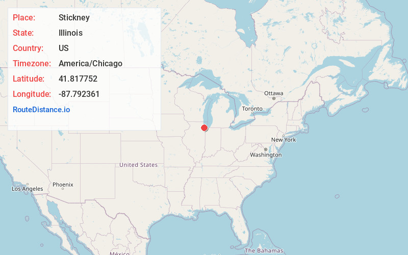
Full AddressStickney, IL
-
Coordinates41.8177521, -87.7923613
-
LocationStickney , Illinois , US
-
TimezoneAmerica/Chicago
-
Current Local Time11:16:03 PM America/ChicagoFriday, June 20, 2025
-
Website
-
Page Views1
About Stickney
Stickney is a village in Cook County, Illinois, United States. Per the 2020 census, the population was 7,110. The village is named for Alpheus Beede Stickney, a railroad executive who played a central role in establishing the Clearing Industrial District.

Nearby Places
Found 10 places within 50 miles

Lyons
1.4 mi
2.3 km
Lyons, IL
Get directions

Riverside
2.0 mi
3.2 km
Riverside, IL 60546
Get directions

Summit
2.2 mi
3.5 km
Summit, IL
Get directions

Berwyn
2.3 mi
3.7 km
Berwyn, IL 60402
Get directions

Brookfield
3.1 mi
5.0 km
Brookfield, IL 60513
Get directions

Cicero
3.2 mi
5.1 km
Cicero, IL
Get directions

La Grange
4.1 mi
6.6 km
La Grange, IL
Get directions

Oak Park
4.3 mi
6.9 km
Oak Park, IL
Get directions

Forest Park
4.4 mi
7.1 km
Forest Park, IL
Get directions

Broadview
4.5 mi
7.2 km
Broadview, IL
Get directions
Location Links
Local Weather
Weather Information
Coming soon!
Location Map
Static map view of Stickney, Illinois
Browse Places by Distance
Places within specific distances from Stickney
Short Distances
Long Distances
Click any distance to see all places within that range from Stickney. Distances shown in miles (1 mile ≈ 1.61 kilometers).