Distance to Stinnett, Wisconsin

Calculating Your Route
Just a moment while we process your request...
Location Information
-
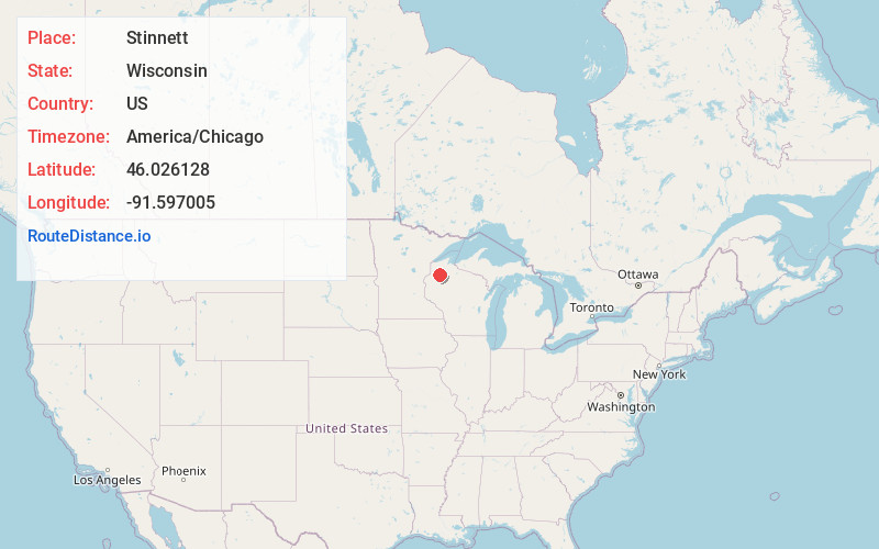
Full AddressStinnett, WI
-
Coordinates46.0261283, -91.5970053
-
LocationStinnett , Wisconsin , US
-
TimezoneAmerica/Chicago
-
Current Local Time5:04:28 AM America/ChicagoThursday, June 19, 2025
-
Page Views0
About Stinnett
Stinnett is a town in Washburn County, Wisconsin, United States. The population was 263 at the 2000 census. The unincorporated community of Stanberry is located in the town, situated 7 miles west of Hayward on County Highway M. The ghost town of Harmon was located in the town.
Nearby Places
Found 10 places within 50 miles

Stanberry
1.9 mi
3.1 km
Stanberry, WI 54875
Get directions

Hayward
5.5 mi
8.9 km
Hayward, WI 54843
Get directions

Frog Creek
6.6 mi
10.6 km
Frog Creek, WI
Get directions

Springbrook
6.9 mi
11.1 km
Springbrook, WI 54875
Get directions
Chittamo
9.1 mi
14.6 km
Chittamo, WI 54859
Get directions
Phipps
9.2 mi
14.8 km
Phipps, WI 54843
Get directions
Bass Lake
9.5 mi
15.3 km
Bass Lake, WI
Get directions
Lampson
10.9 mi
17.5 km
Lampson, WI 54888
Get directions

Earl
11.2 mi
18.0 km
Earl, WI 54875
Get directions
Crystal
11.9 mi
19.2 km
Crystal, WI
Get directions
Location Links
Local Weather
Weather Information
Coming soon!
Location Map
Static map view of Stinnett, Wisconsin
Browse Places by Distance
Places within specific distances from Stinnett
Short Distances
Long Distances
Click any distance to see all places within that range from Stinnett. Distances shown in miles (1 mile ≈ 1.61 kilometers).