Distance to Stirum, North Dakota

Calculating Your Route
Just a moment while we process your request...
Location Information
-
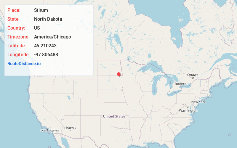
Full AddressStirum, ND 58069
-
Coordinates46.2102425, -97.8064878
-
LocationStirum , North Dakota , US
-
TimezoneAmerica/Chicago
-
Current Local Time3:40:49 PM America/ChicagoFriday, May 30, 2025
-
Page Views0
About Stirum
Stirum is an unincorporated community in northwestern Sargent County, North Dakota, United States. It lies a short distance to the south of North Dakota Highway 13, northwest of the city of Forman, the county seat of Sargent County. Its elevation is 1,355 feet. It has a post office with the ZIP code 58069.
Nearby Places
Found 10 places within 50 miles

Gwinner
7.0 mi
11.3 km
Gwinner, ND
Get directions

Cogswell
7.2 mi
11.6 km
Cogswell, ND 58017
Get directions

Crete
7.5 mi
12.1 km
Crete, ND 58040
Get directions
Nicholson
7.6 mi
12.2 km
Nicholson, ND 58017
Get directions
Forman
10.8 mi
17.4 km
Forman, ND 58032
Get directions
Elliott
13.3 mi
21.4 km
Elliott, ND 58054
Get directions
Englevale
13.6 mi
21.9 km
Englevale, ND 58033
Get directions

Oakes
14.5 mi
23.3 km
Oakes, ND 58474
Get directions
Verona
16.6 mi
26.7 km
Verona, ND 58490
Get directions
Norway
17.0 mi
27.4 km
Norway, ND 58474
Get directions
Location Links
Local Weather
Weather Information
Coming soon!
Location Map
Static map view of Stirum, North Dakota
Browse Places by Distance
Places within specific distances from Stirum
Short Distances
Long Distances
Click any distance to see all places within that range from Stirum. Distances shown in miles (1 mile ≈ 1.61 kilometers).