Distance to Stoke-on-Trent, England

Calculating Your Route
Just a moment while we process your request...
Location Information
-
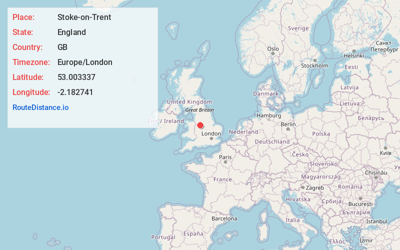
Full AddressStoke-on-Trent, UK
-
Coordinates53.0033369, -2.1827408
-
LocationStoke-on-Trent , England , GB
-
TimezoneEurope/London
-
Current Local Time7:55:45 PM Europe/LondonSaturday, May 24, 2025
-
Website
-
Page Views0
About Stoke-on-Trent
Stoke-on-Trent is a city in central England. It’s known for its pottery industry. The Potteries Museum & Art Gallery displays locally made ceramics, decorative arts and a WWII Spitfire. The Gladstone Pottery Museum is in a former Victorian factory. The Trentham Estate has landscaped Italian gardens and a forest with monkeys. From Westport Lake, the Heritage Canoe Trail follows canals east to Froghall Wharf.


Nearby Places
Found 9 places within 50 miles

Staffordshire
16.5 mi
26.6 km
Staffordshire, UK
Get directions

Tamworth
32.8 mi
52.8 km
Tamworth, UK
Get directions

Manchester
33.1 mi
53.3 km
Manchester, UK
Get directions

Wrexham
33.8 mi
54.4 km
Wrexham, UK
Get directions

St Helens
38.8 mi
62.4 km
St Helens, Saint Helens, UK
Get directions

Nottingham
42.9 mi
69.0 km
Nottingham, UK
Get directions

Welshpool
46.7 mi
75.2 km
Welshpool, UK
Get directions

Barnsley
47.8 mi
76.9 km
Barnsley, UK
Get directions

Coventry
49.6 mi
79.8 km
Coventry, UK
Get directions
Location Links
Local Weather
Weather Information
Coming soon!
Location Map
Static map view of Stoke-on-Trent, England
Browse Places by Distance
Places within specific distances from Stoke-on-Trent
Short Distances
Long Distances
Click any distance to see all places within that range from Stoke-on-Trent. Distances shown in miles (1 mile ≈ 1.61 kilometers).