Distance to Stokes, South Carolina

Calculating Your Route
Just a moment while we process your request...
Location Information
-
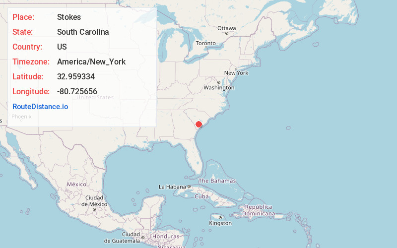
Full AddressStokes, SC 29488
-
Coordinates32.9593339, -80.7256562
-
LocationSouth Carolina , US
-
TimezoneAmerica/New_York
-
Current Local Time1:22:41 AM America/New_YorkFriday, June 20, 2025
-
Page Views0
Nearby Places
Found 10 places within 50 miles

Rhodes Crossroads
0.9 mi
1.4 km
Rhodes Crossroads, SC 29488
Get directions

Walterboro
5.1 mi
8.2 km
Walterboro, SC 29488
Get directions
Williams
8.5 mi
13.7 km
Williams, SC
Get directions
Sniders Crossroads
8.8 mi
14.2 km
Sniders Crossroads, SC 29475
Get directions

Smoaks
10.4 mi
16.7 km
Smoaks, SC 29481
Get directions

Grover
12.6 mi
20.3 km
Grover, SC 29477
Get directions
Islandton
12.6 mi
20.3 km
Islandton, SC 29929
Get directions

Cottageville
14.3 mi
23.0 km
Cottageville, SC 29435
Get directions
Lodge
15.2 mi
24.5 km
Lodge, SC 29082
Get directions

Reevesville
17.6 mi
28.3 km
Reevesville, SC 29471
Get directions
Location Links
Local Weather
Weather Information
Coming soon!
Location Map
Static map view of Stokes, South Carolina
Browse Places by Distance
Places within specific distances from Stokes
Short Distances
Long Distances
Click any distance to see all places within that range from Stokes. Distances shown in miles (1 mile ≈ 1.61 kilometers).