Distance to Stokes Township, Ohio

Calculating Your Route
Just a moment while we process your request...
Location Information
-
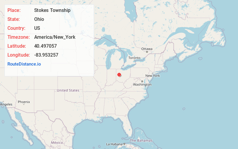
Full AddressStokes Township, OH
-
Coordinates40.4970573, -83.9532571
-
LocationStokes Township , Ohio , US
-
TimezoneAmerica/New_York
-
Current Local Time1:23:38 AM America/New_YorkThursday, June 19, 2025
-
Page Views0
About Stokes Township
Stokes Township is one of the seventeen townships of Logan County, Ohio, United States. As of the 2020 census, the population was 4,550.
Nearby Places
Found 10 places within 50 miles

Lakeview
1.8 mi
2.9 km
Lakeview, OH 43331
Get directions

Santa Fe
2.2 mi
3.5 km
Santa Fe, Clay Township, OH 45895
Get directions
Chippewa Park
3.6 mi
5.8 km
Chippewa Park, OH 43331
Get directions

Russells Point
3.7 mi
6.0 km
Russells Point, OH
Get directions
Orchard Island
3.8 mi
6.1 km
Orchard Island, OH 43331
Get directions

New Hampshire
4.1 mi
6.6 km
New Hampshire, OH
Get directions
Gutman
5.0 mi
8.0 km
Gutman, Clay Township, OH 45895
Get directions
O'Connor Point
5.3 mi
8.5 km
O'Connor Point, Richland Township, OH 43310
Get directions
Bloom Center
5.5 mi
8.9 km
Bloom Center, OH 43318
Get directions
Geyer
5.9 mi
9.5 km
Geyer, OH 45895
Get directions
Location Links
Local Weather
Weather Information
Coming soon!
Location Map
Static map view of Stokes Township, Ohio
Browse Places by Distance
Places within specific distances from Stokes Township
Short Distances
Long Distances
Click any distance to see all places within that range from Stokes Township. Distances shown in miles (1 mile ≈ 1.61 kilometers).