Distance to and from Stopover, Kentucky
Stopover, KY 41568
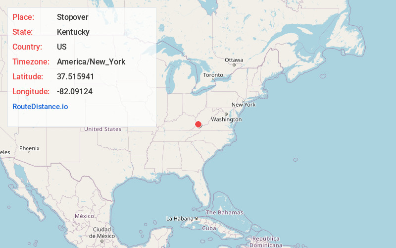
Stopover
Kentucky
US
America/New_York
Location Information
-
Full AddressStopover, KY 41568
-
Coordinates37.5159411, -82.09124
-
LocationStopover , Kentucky , US
-
TimezoneAmerica/New_York
-
Current Local Time7:11:55 PM America/New_YorkSunday, May 4, 2025
-
Page Views0
Directions to Nearest Cities
About Stopover
Stopover is an unincorporated community in Pike County, Kentucky, United States that was established on August 14, 1949. It is at the junction of Kentucky Route 194 and Kentucky Route 2062 3.5 miles east of Phelps. Stopover had a post office with ZIP code 41568.
Nearby Places
Found 10 places within 50 miles

Majestic
1.3 mi
2.1 km
Majestic, KY 41547
Get directions

Woodman
2.6 mi
4.2 km
Woodman, KY 41568
Get directions
Cedar
2.8 mi
4.5 km
Cedar, WV 25678
Get directions
Argo
2.9 mi
4.7 km
Argo, KY 41568
Get directions

Phelps
3.4 mi
5.5 km
Phelps, KY 41553
Get directions
Lindsey
3.8 mi
6.1 km
Lindsey, WV 25678
Get directions
Board Tree
4.2 mi
6.8 km
Board Tree, KY 41553
Get directions

Freeburn
4.5 mi
7.2 km
Freeburn, KY 41528
Get directions
Kelsa
5.3 mi
8.5 km
Kelsa, VA 24620
Get directions
Paw Paw
5.5 mi
8.9 km
Paw Paw, KY 41553
Get directions
Majestic
1.3 mi
2.1 km
Majestic, KY 41547
Woodman
2.6 mi
4.2 km
Woodman, KY 41568
Cedar
2.8 mi
4.5 km
Cedar, WV 25678
Argo
2.9 mi
4.7 km
Argo, KY 41568
Phelps
3.4 mi
5.5 km
Phelps, KY 41553
Lindsey
3.8 mi
6.1 km
Lindsey, WV 25678
Board Tree
4.2 mi
6.8 km
Board Tree, KY 41553
Freeburn
4.5 mi
7.2 km
Freeburn, KY 41528
Kelsa
5.3 mi
8.5 km
Kelsa, VA 24620
Paw Paw
5.5 mi
8.9 km
Paw Paw, KY 41553
Location Links
Local Weather
Weather Information
Coming soon!
Location Map
Static map view of Stopover, Kentucky
Browse Places by Distance
Places within specific distances from Stopover
Short Distances
Long Distances
Click any distance to see all places within that range from Stopover. Distances shown in miles (1 mile ≈ 1.61 kilometers).