Distance to Storla, South Dakota

Calculating Your Route
Just a moment while we process your request...
Location Information
-
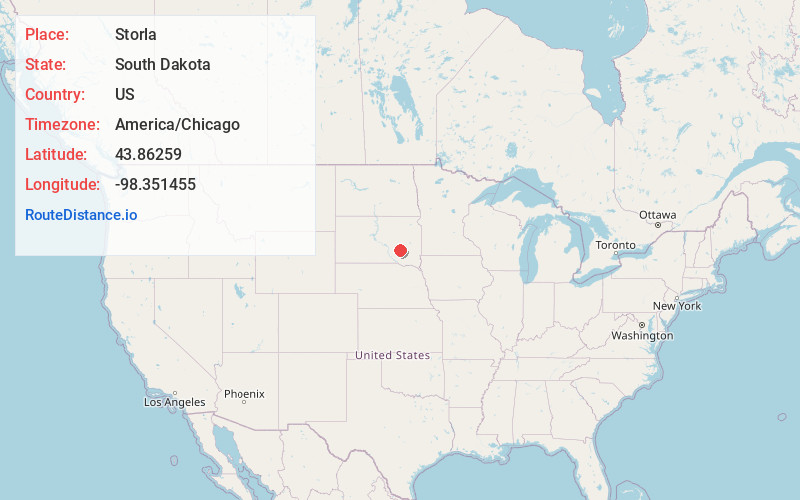
Full AddressStorla, SD
-
Coordinates43.8625903, -98.351455
-
LocationStorla , South Dakota , US
-
TimezoneAmerica/Chicago
-
Current Local Time2:51:41 AM America/ChicagoThursday, June 5, 2025
-
Page Views0
About Storla
Storla is a census-designated place in Aurora County, South Dakota, United States. It was established by the United States Census Bureau for its use with the 2020 United States Census. The population of the CDP was given as 6 in the census. The hamlet of Storla is included within the CDP boundaries.
Nearby Places
Found 10 places within 50 miles

Letcher
10.9 mi
17.5 km
Letcher, SD 57359
Get directions

Mt Vernon
11.4 mi
18.3 km
Mt Vernon, SD 57363
Get directions
Plankinton
12.2 mi
19.6 km
Plankinton, SD 57368
Get directions

Woonsocket
13.7 mi
22.0 km
Woonsocket, SD 57385
Get directions
Lane
14.8 mi
23.8 km
Lane, SD
Get directions
Forestburg
16.4 mi
26.4 km
Forestburg, SD 57314
Get directions

Wessington Springs
18.5 mi
29.8 km
Wessington Springs, SD 57382
Get directions

Mitchell
19.2 mi
30.9 km
Mitchell, SD 57301
Get directions
Stickney
19.4 mi
31.2 km
Stickney, SD 57375
Get directions

White Lake
20.2 mi
32.5 km
White Lake, SD 57383
Get directions
Location Links
Local Weather
Weather Information
Coming soon!
Location Map
Static map view of Storla, South Dakota
Browse Places by Distance
Places within specific distances from Storla
Short Distances
Long Distances
Click any distance to see all places within that range from Storla. Distances shown in miles (1 mile ≈ 1.61 kilometers).