Distance to Stotesbury, Missouri

Calculating Your Route
Just a moment while we process your request...
Location Information
-
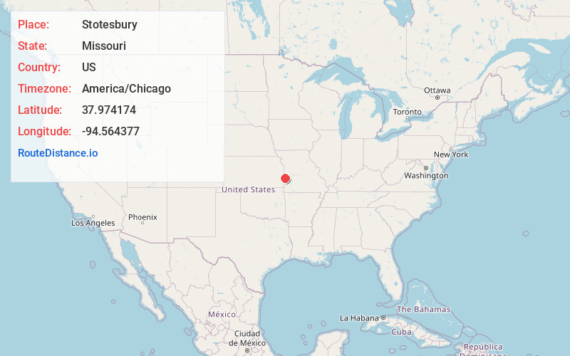
Full AddressStotesbury, MO 64778
-
Coordinates37.9741736, -94.5643769
-
LocationStotesbury , Missouri , US
-
TimezoneAmerica/Chicago
-
Current Local Time10:41:20 AM America/ChicagoMonday, June 16, 2025
-
Page Views0
About Stotesbury
Stotesbury is a village in northwest Vernon County, Missouri, United States. The population was 18 at the 2010 census.
Nearby Places
Found 10 places within 50 miles

Richards
4.6 mi
7.4 km
Richards, MO 64778
Get directions
Metz
6.8 mi
10.9 km
Metz, MO 64778
Get directions

Hume
8.1 mi
13.0 km
Hume, MO 64752
Get directions
Fulton
8.8 mi
14.2 km
Fulton, KS 66738
Get directions

Prescott
9.4 mi
15.1 km
Prescott, KS 66767
Get directions

Deerfield
9.9 mi
15.9 km
Deerfield, MO 64741
Get directions

Fort Scott
12.2 mi
19.6 km
Fort Scott, KS 66701
Get directions

Foster
13.6 mi
21.9 km
Foster, MO
Get directions

Rich Hill
13.9 mi
22.4 km
Rich Hill, MO 64779
Get directions
Devon
14.3 mi
23.0 km
Devon, KS 66701
Get directions
Location Links
Local Weather
Weather Information
Coming soon!
Location Map
Static map view of Stotesbury, Missouri
Browse Places by Distance
Places within specific distances from Stotesbury
Short Distances
Long Distances
Click any distance to see all places within that range from Stotesbury. Distances shown in miles (1 mile ≈ 1.61 kilometers).