Distance to Stoval, Arizona

Calculating Your Route
Just a moment while we process your request...
Location Information
-
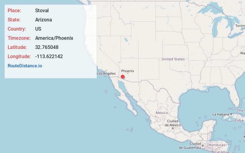
Full AddressStoval, AZ 85347
-
Coordinates32.7650478, -113.6221416
-
LocationStoval , Arizona , US
-
TimezoneAmerica/Phoenix
-
Current Local Time1:23:09 PM America/PhoenixWednesday, June 18, 2025
-
Page Views0
About Stoval
Stoval is a populated place situated in Yuma County, Arizona, United States, located approximately 70 miles east of Yuma.
Nearby Places
Found 10 places within 50 miles

Kim
5.1 mi
8.2 km
Kim, AZ 85347
Get directions

Dateland
5.2 mi
8.4 km
Dateland, AZ 85333
Get directions

Mohawk
8.2 mi
13.2 km
Mohawk, AZ 85347
Get directions
Owl
10.3 mi
16.6 km
Owl, AZ 85347
Get directions
Growler
10.9 mi
17.5 km
Growler, AZ 85347
Get directions

Aztec
11.0 mi
17.7 km
Aztec, AZ 85333
Get directions
Horn
14.2 mi
22.9 km
Horn, AZ 85333
Get directions
Tyson
15.2 mi
24.5 km
Tyson, AZ 85347
Get directions
Colfred
16.8 mi
27.0 km
Colfred, AZ 85352
Get directions

Tacna
19.8 mi
31.9 km
Tacna, AZ 85356
Get directions
Location Links
Local Weather
Weather Information
Coming soon!
Location Map
Static map view of Stoval, Arizona
Browse Places by Distance
Places within specific distances from Stoval
Short Distances
Long Distances
Click any distance to see all places within that range from Stoval. Distances shown in miles (1 mile ≈ 1.61 kilometers).