Distance to Aztec, Arizona

Calculating Your Route
Just a moment while we process your request...
Location Information
-
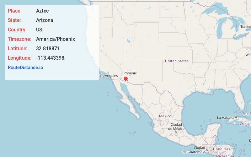
Full AddressAztec, AZ 85333
-
Coordinates32.818871, -113.443398
-
LocationAztec , Arizona , US
-
TimezoneAmerica/Phoenix
-
Current Local Time11:41:25 PM America/PhoenixWednesday, June 18, 2025
-
Page Views0
About Aztec
Aztec is a census designated place situated in Yuma County, Arizona, United States. It had a population of 47 as of the 2010 U.S. Census. As of July 2015, Aztec had an estimated population of 52. It is located along Interstate 8 to the west of Tenmile Wash.


Nearby Places
Found 6 places within 50 miles

Dateland
5.9 mi
9.5 km
Dateland, AZ 85333
Get directions

Tacna
30.8 mi
49.6 km
Tacna, AZ 85356
Get directions

Theba
32.7 mi
52.6 km
Theba, AZ 85337
Get directions

Wellton
42.1 mi
67.8 km
Wellton, AZ 85356
Get directions

Gila Bend
43.1 mi
69.4 km
Gila Bend, AZ
Get directions

Ajo
45.9 mi
73.9 km
Ajo, AZ 85321
Get directions
Location Links
Local Weather
Weather Information
Coming soon!
Location Map
Static map view of Aztec, Arizona
Browse Places by Distance
Places within specific distances from Aztec
Short Distances
Long Distances
Click any distance to see all places within that range from Aztec. Distances shown in miles (1 mile ≈ 1.61 kilometers).