Distance to Theba, Arizona

Calculating Your Route
Just a moment while we process your request...
Location Information
-
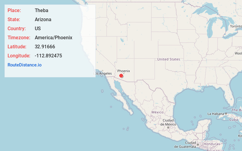
Full AddressTheba, AZ 85337
-
Coordinates32.9166604, -112.8924752
-
LocationTheba , Arizona , US
-
TimezoneAmerica/Phoenix
-
Current Local Time12:20:56 AM America/PhoenixThursday, June 19, 2025
-
Page Views0
About Theba
Theba is an unincorporated community and census-designated place in Maricopa County, Arizona, United States. Theba is located along Interstate 8 and is served by Exit 106. As of the 2020 census, it had a population of 111, down from 158 in 2010.
Nearby Places
Found 10 places within 50 miles

Gila Bend
10.4 mi
16.7 km
Gila Bend, AZ
Get directions

Arlington
29.2 mi
47.0 km
Arlington, AZ 85322
Get directions

Wintersburg
34.7 mi
55.8 km
Wintersburg, AZ 85354
Get directions

Buckeye
36.1 mi
58.1 km
Buckeye, AZ
Get directions

Ajo
37.7 mi
60.7 km
Ajo, AZ 85321
Get directions

Dateland
38.5 mi
62.0 km
Dateland, AZ 85333
Get directions

Why
45.9 mi
73.9 km
Why, AZ
Get directions

Ak-Chin Indian Community
47.3 mi
76.1 km
Ak-Chin Indian Community, AZ 85139
Get directions

Goodyear
47.3 mi
76.1 km
Goodyear, AZ
Get directions

Avondale
47.7 mi
76.8 km
Avondale, AZ
Get directions
Location Links
Local Weather
Weather Information
Coming soon!
Location Map
Static map view of Theba, Arizona
Browse Places by Distance
Places within specific distances from Theba
Short Distances
Long Distances
Click any distance to see all places within that range from Theba. Distances shown in miles (1 mile ≈ 1.61 kilometers).