Distance to Gila Bend, Arizona

Calculating Your Route
Just a moment while we process your request...
Location Information
-
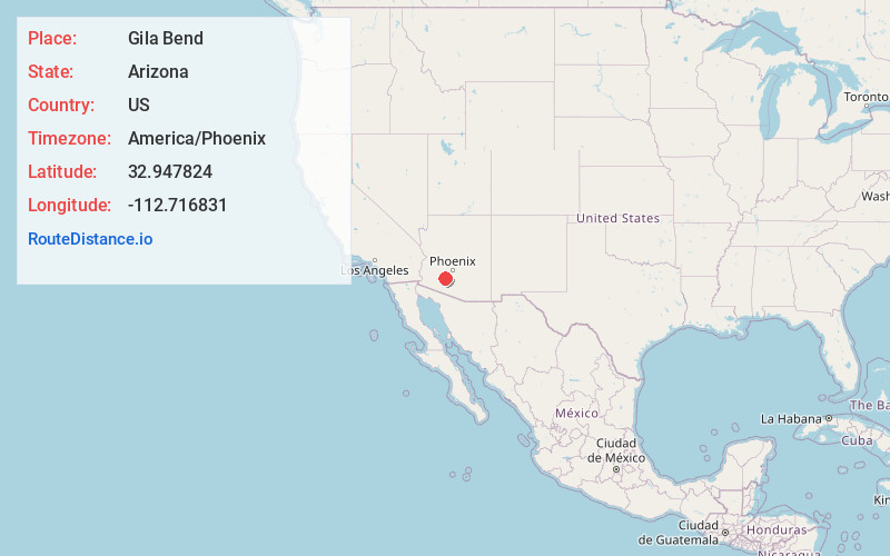
Full AddressGila Bend, AZ
-
Coordinates32.9478236, -112.7168305
-
LocationGila Bend , Arizona , US
-
TimezoneAmerica/Phoenix
-
Current Local Time10:32:39 AM America/PhoenixMonday, June 2, 2025
-
Website
-
Page Views0
About Gila Bend
Gila Bend, founded in 1872, is a town in Maricopa County, Arizona, United States. The town is named for an approximately 90-degree bend in the Gila River, which is near the community's current location. As of the 2020 census, the population of the town was 1,892.


Nearby Places
Found 7 places within 50 miles

Buckeye
30.2 mi
48.6 km
Buckeye, AZ
Get directions

Maricopa
39.5 mi
63.6 km
Maricopa, AZ
Get directions

Goodyear
39.6 mi
63.7 km
Goodyear, AZ
Get directions

Avondale
39.8 mi
64.1 km
Avondale, AZ
Get directions

Ajo
40.7 mi
65.5 km
Ajo, AZ 85321
Get directions

Tolleson
43.6 mi
70.2 km
Tolleson, AZ
Get directions

Citrus Park
43.7 mi
70.3 km
Citrus Park, AZ
Get directions
Location Links
Local Weather
Weather Information
Coming soon!
Location Map
Static map view of Gila Bend, Arizona
Browse Places by Distance
Places within specific distances from Gila Bend
Short Distances
Long Distances
Click any distance to see all places within that range from Gila Bend. Distances shown in miles (1 mile ≈ 1.61 kilometers).