Distance to Tolleson, Arizona

Calculating Your Route
Just a moment while we process your request...
Location Information
-
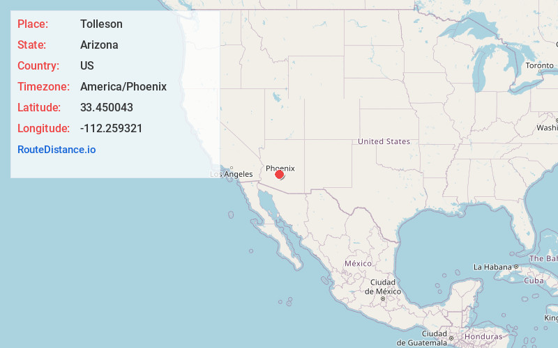
Full AddressTolleson, AZ
-
Coordinates33.4500425, -112.259321
-
LocationTolleson , Arizona , US
-
TimezoneAmerica/Phoenix
-
Current Local Time3:49:22 PM America/PhoenixSaturday, June 14, 2025
-
Website
-
Page Views0
About Tolleson
Tolleson is a city in Maricopa County, Arizona, United States. According to the U.S. Census Bureau, the population of the city was 7,216 as of the 2020 census, up from 6,545 in 2010.


Nearby Places
Found 10 places within 50 miles

Avondale
5.3 mi
8.5 km
Avondale, AZ
Get directions

Goodyear
5.8 mi
9.3 km
Goodyear, AZ
Get directions

Glendale
7.4 mi
11.9 km
Glendale, AZ
Get directions

Peoria
9.1 mi
14.6 km
Peoria, AZ
Get directions

Sun City
10.2 mi
16.4 km
Sun City, AZ
Get directions

Youngtown
10.3 mi
16.6 km
Youngtown, AZ 85363
Get directions

Phoenix
10.5 mi
16.9 km
Phoenix, AZ
Get directions

El Mirage
11.9 mi
19.2 km
El Mirage, AZ
Get directions

Surprise
13.9 mi
22.4 km
Surprise, AZ
Get directions

Sun City West
15.4 mi
24.8 km
Sun City West, AZ 85375
Get directions
Location Links
Local Weather
Weather Information
Coming soon!
Location Map
Static map view of Tolleson, Arizona
Browse Places by Distance
Places within specific distances from Tolleson
Short Distances
Long Distances
Click any distance to see all places within that range from Tolleson. Distances shown in miles (1 mile ≈ 1.61 kilometers).