Distance to Strawberry, Arizona

Calculating Your Route
Just a moment while we process your request...
Location Information
-
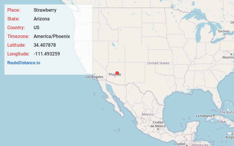
Full AddressStrawberry, AZ 85544
-
Coordinates34.4078783, -111.493259
-
LocationStrawberry , Arizona , US
-
TimezoneAmerica/Phoenix
-
Current Local Time12:48:54 AM America/PhoenixWednesday, June 4, 2025
-
Page Views0
About Strawberry
Strawberry is an unincorporated community and census-designated place in Gila County, Arizona, United States. The population was 961 at the 2010 census.


Nearby Places
Found 10 places within 50 miles

Pine
2.7 mi
4.3 km
Pine, AZ 85544
Get directions

Payson
15.5 mi
24.9 km
Payson, AZ 85541
Get directions

Star Valley
17.2 mi
27.7 km
Star Valley, AZ 85541
Get directions

C.C. Cragin Reservoir
19.6 mi
31.5 km
C.C. Cragin Reservoir, Arizona 86024
Get directions

Lake Montezuma
22.4 mi
36.0 km
Lake Montezuma, AZ 86335
Get directions

Camp Verde
23.2 mi
37.3 km
Camp Verde, AZ 86322
Get directions

Village of Oak Creek
30.0 mi
48.3 km
Village of Oak Creek, AZ 86351
Get directions

Cornville
32.4 mi
52.1 km
Cornville, AZ 86325
Get directions

Cottonwood-Verde Village
34.2 mi
55.0 km
Cottonwood-Verde Village, AZ 86326
Get directions

Cordes Lakes
35.5 mi
57.1 km
Cordes Lakes, AZ 86333
Get directions
Location Links
Local Weather
Weather Information
Coming soon!
Location Map
Static map view of Strawberry, Arizona
Browse Places by Distance
Places within specific distances from Strawberry
Short Distances
Long Distances
Click any distance to see all places within that range from Strawberry. Distances shown in miles (1 mile ≈ 1.61 kilometers).