Distance to Strawtown, Indiana

Calculating Your Route
Just a moment while we process your request...
Location Information
-
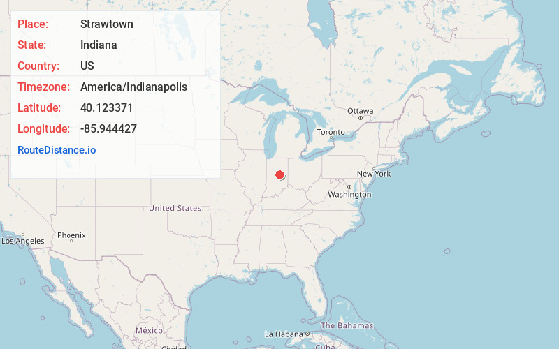
Full AddressStrawtown, IN 46060
-
Coordinates40.1233709, -85.9444271
-
LocationStrawtown , Indiana , US
-
TimezoneAmerica/Indianapolis
-
Page Views0
About Strawtown
Strawtown is an unincorporated community in White River Township, Hamilton County, Indiana.

Nearby Places
Found 10 places within 50 miles

Cicero
3.6 mi
5.8 km
Cicero, IN
Get directions

Omega
5.2 mi
8.4 km
Omega, IN 46030
Get directions
Arcadia
5.5 mi
8.9 km
Arcadia, IN 46030
Get directions
Fishersburg
5.7 mi
9.2 km
Fishersburg, IN
Get directions
Lapel
6.3 mi
10.1 km
Lapel, IN
Get directions

Noblesville
6.4 mi
10.3 km
Noblesville, IN
Get directions

Atlanta
7.7 mi
12.4 km
Atlanta, IN
Get directions
South Elwood
11.0 mi
17.7 km
South Elwood, Elwood, IN 46036
Get directions
Frankton
11.1 mi
17.9 km
Frankton, IN 46044
Get directions
Hobbs
11.1 mi
17.9 km
Hobbs, IN 46072
Get directions
Location Links
Local Weather
Weather Information
Coming soon!
Location Map
Static map view of Strawtown, Indiana
Browse Places by Distance
Places within specific distances from Strawtown
Short Distances
Long Distances
Click any distance to see all places within that range from Strawtown. Distances shown in miles (1 mile ≈ 1.61 kilometers).