Distance to Stringer, Mississippi

Calculating Your Route
Just a moment while we process your request...
Location Information
-
Full AddressStringer, MS 39481
-
Coordinates31.8668234, -89.2633939
-
LocationStringer , Mississippi , US
-
TimezoneAmerica/Chicago
-
Current Local Time8:02:17 AM America/ChicagoMonday, June 23, 2025
-
Page Views0
About Stringer
Stringer is an unincorporated community in southwestern Jasper County, Mississippi, United States. It lies at the intersections of State Highways 15 and County Road 10, just north of Mississippi State Highway 533, between Bay Springs and Laurel. The population was 1,867 at the 2010 census.
Nearby Places
Found 10 places within 50 miles

Matthews
5.6 mi
9.0 km
Matthews, MS 39443
Get directions
Gitano
7.1 mi
11.4 km
Gitano, MS 39168
Get directions
Lake Como
7.2 mi
11.6 km
Lake Como, MS 39422
Get directions
Summerland
7.4 mi
11.9 km
Summerland, MS 39168
Get directions

Soso
7.6 mi
12.2 km
Soso, MS
Get directions

Bay Springs
7.9 mi
12.7 km
Bay Springs, MS
Get directions
Acme
8.7 mi
14.0 km
Acme, MS 39422
Get directions
Service
9.4 mi
15.1 km
Service, MS 39443
Get directions
Taylorsville
9.9 mi
15.9 km
Taylorsville, MS 39168
Get directions
Shady Grove
10.2 mi
16.4 km
Shady Grove, MS 39443
Get directions
Location Links
Local Weather
Weather Information
Coming soon!
Location Map
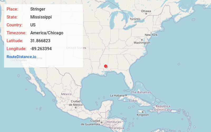
Static map view of Stringer, Mississippi
Browse Places by Distance
Places within specific distances from Stringer
Short Distances
Long Distances
Click any distance to see all places within that range from Stringer. Distances shown in miles (1 mile ≈ 1.61 kilometers).