Distance to Struble, Pennsylvania

Calculating Your Route
Just a moment while we process your request...
Location Information
-
Full AddressStruble, Ferguson Township, PA 16801
-
Coordinates40.7828395, -77.8761126
-
LocationFerguson Township , Pennsylvania , US
-
TimezoneAmerica/New_York
-
Current Local Time1:04:45 PM America/New_YorkWednesday, May 28, 2025
-
Page Views0
About Struble
Struble is a neighborhood and an unincorporated community in Ferguson Township, Centre County, Pennsylvania, United States. It is part of Happy Valley and the larger Nittany Valley. The neighborhood is to the east of Pine Hall, and west of the West End in State College.
Nearby Places
Found 10 places within 50 miles

State College
1.1 mi
1.8 km
State College, PA
Get directions

Park Hills
1.6 mi
2.6 km
Park Hills, Park Forest Village, PA 16803
Get directions

Park Forest Village
2.7 mi
4.3 km
Park Forest Village, PA
Get directions

Toftrees
2.9 mi
4.7 km
Toftrees, PA 16803
Get directions

Ferguson Township
3.1 mi
5.0 km
Ferguson Township, PA
Get directions
Lemont
3.6 mi
5.8 km
Lemont, PA
Get directions
Houserville
3.8 mi
6.1 km
Houserville, PA 16801
Get directions

Boalsburg
4.4 mi
7.1 km
Boalsburg, PA 16827
Get directions
Ramblewood
4.9 mi
7.9 km
Ramblewood, PA 16865
Get directions
Fillmore
5.3 mi
8.5 km
Fillmore, Benner Township, PA 16823
Get directions
Location Links
Local Weather
Weather Information
Coming soon!
Location Map
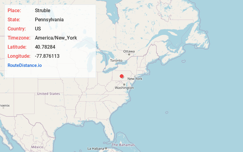
Static map view of Struble, Pennsylvania
Browse Places by Distance
Places within specific distances from Struble
Short Distances
Long Distances
Click any distance to see all places within that range from Struble. Distances shown in miles (1 mile ≈ 1.61 kilometers).