Distance to Toftrees, Pennsylvania

Calculating Your Route
Just a moment while we process your request...
Location Information
-
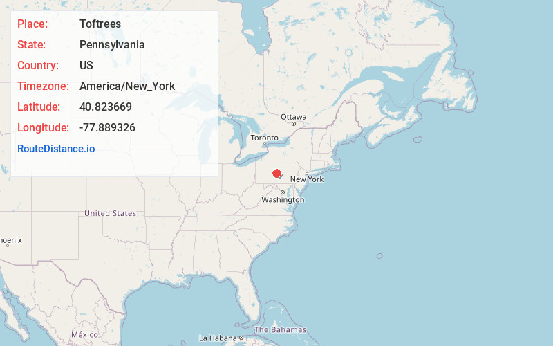
Full AddressToftrees, PA 16803
-
Coordinates40.8236686, -77.8893258
-
LocationToftrees , Pennsylvania , US
-
TimezoneAmerica/New_York
-
Current Local Time5:05:00 PM America/New_YorkWednesday, June 18, 2025
-
Page Views0
About Toftrees
Toftrees is a census-designated place in Patton Township, Centre County, Pennsylvania, United States. It is located 3.5 miles northwest of the center of State College on the north side of Interstate 99/U.S. Route 322. The hilltop community surrounds the Toftrees Golf Resort.


Nearby Places
Found 10 places within 50 miles

Park Forest Village
1.9 mi
3.1 km
Park Forest Village, PA
Get directions

State College
2.6 mi
4.2 km
State College, PA
Get directions

Centre County
4.6 mi
7.4 km
Centre County, PA
Get directions

Ferguson Township
5.6 mi
9.0 km
Ferguson Township, PA
Get directions

Boalsburg
6.1 mi
9.8 km
Boalsburg, PA 16827
Get directions

Stormstown
7.0 mi
11.3 km
Stormstown, PA 16870
Get directions
Pleasant Gap
8.1 mi
13.0 km
Pleasant Gap, PA 16823
Get directions

Harris Township
8.3 mi
13.4 km
Harris Township, PA
Get directions
Halfmoon Township
8.4 mi
13.5 km
Halfmoon Township, PA
Get directions

Bellefonte
8.5 mi
13.7 km
Bellefonte, PA 16823
Get directions
Location Links
Local Weather
Weather Information
Coming soon!
Location Map
Static map view of Toftrees, Pennsylvania
Browse Places by Distance
Places within specific distances from Toftrees
Short Distances
Long Distances
Click any distance to see all places within that range from Toftrees. Distances shown in miles (1 mile ≈ 1.61 kilometers).