Distance to Stubbs, North Carolina

Calculating Your Route
Just a moment while we process your request...
Location Information
-
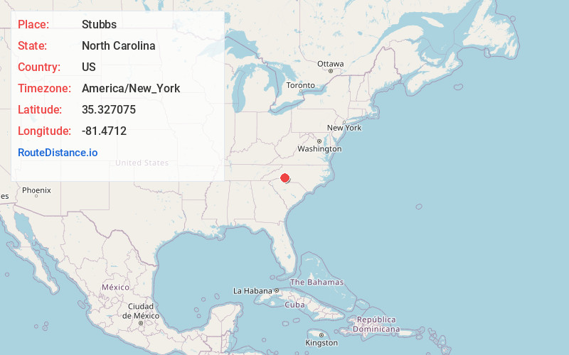
Full AddressStubbs, NC 28150
-
Coordinates35.3270754, -81.4711995
-
LocationNorth Carolina , US
-
TimezoneAmerica/New_York
-
Current Local Time11:24:35 AM America/New_YorkWednesday, June 18, 2025
-
Page Views0
Nearby Places
Found 10 places within 50 miles

Light Oak
2.9 mi
4.7 km
Light Oak, NC
Get directions

Waco
3.4 mi
5.5 km
Waco, NC
Get directions

Shelby
4.4 mi
7.1 km
Shelby, NC
Get directions
Beam Mill
4.6 mi
7.4 km
Beam Mill, NC 28150
Get directions
Baker Crossroads
4.6 mi
7.4 km
Baker Crossroads, NC 28021
Get directions
Dellview
5.4 mi
8.7 km
Dellview, NC 28021
Get directions
Double Shoals
5.7 mi
9.2 km
Double Shoals, NC 28150
Get directions

Cherryville
6.3 mi
10.1 km
Cherryville, NC 28021
Get directions
Metcalf
6.5 mi
10.5 km
Metcalf, NC 28150
Get directions
Ora
6.5 mi
10.5 km
Ora, Shelby, NC 28150
Get directions
Location Links
Local Weather
Weather Information
Coming soon!
Location Map
Static map view of Stubbs, North Carolina
Browse Places by Distance
Places within specific distances from Stubbs
Short Distances
Long Distances
Click any distance to see all places within that range from Stubbs. Distances shown in miles (1 mile ≈ 1.61 kilometers).