Distance to Stumptown, Virginia

Calculating Your Route
Just a moment while we process your request...
Location Information
-
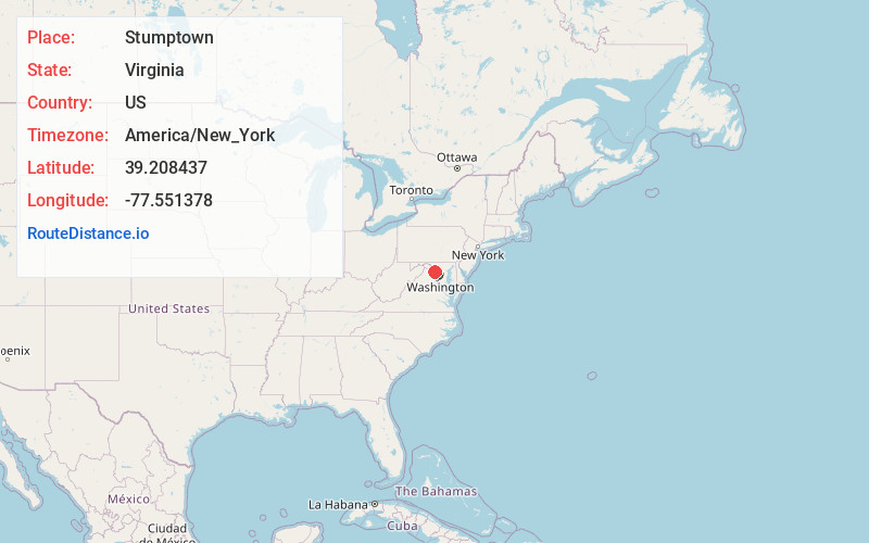
Full AddressStumptown, VA 20176
-
Coordinates39.2084366, -77.5513778
-
LocationVirginia , US
-
TimezoneAmerica/New_York
-
Current Local Time11:47:38 PM America/New_YorkThursday, June 19, 2025
-
Page Views0
About Stumptown
Stumptown is an unincorporated community on the eastern flanks of Catoctin Mountain in Loudoun County, Virginia, United States.
Nearby Places
Found 10 places within 50 miles

Taylorstown
3.4 mi
5.5 km
Taylorstown, VA 20176
Get directions

Waterford
3.5 mi
5.6 km
Waterford, VA 20197
Get directions
Furnace Mountain
3.9 mi
6.3 km
Furnace Mountain, Virginia 20180
Get directions
Milltown
4.4 mi
7.1 km
Milltown, VA 20180
Get directions

Point of Rocks
4.7 mi
7.6 km
Point of Rocks, MD
Get directions
Martinsburg
5.1 mi
8.2 km
Martinsburg, MD 20842
Get directions

Tuscarora
5.5 mi
8.9 km
Tuscarora, MD 21790
Get directions

Paeonian Springs
5.5 mi
8.9 km
Paeonian Springs, VA
Get directions

Leesburg
6.5 mi
10.5 km
Leesburg, VA
Get directions

Lovettsville
6.5 mi
10.5 km
Lovettsville, VA 20180
Get directions
Location Links
Local Weather
Weather Information
Coming soon!
Location Map
Static map view of Stumptown, Virginia
Browse Places by Distance
Places within specific distances from Stumptown
Short Distances
Long Distances
Click any distance to see all places within that range from Stumptown. Distances shown in miles (1 mile ≈ 1.61 kilometers).