Distance to Suffolk County, New York

Calculating Your Route
Just a moment while we process your request...
Location Information
-
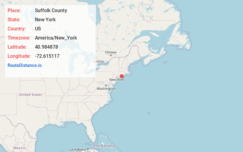
Full AddressSuffolk County, NY
-
Coordinates40.9848784, -72.6151169
-
LocationNew York , US
-
TimezoneAmerica/New_York
-
Current Local Time7:36:22 AM America/New_YorkSunday, June 15, 2025
-
Page Views0
About Suffolk County
Suffolk County is the easternmost county in the U.S. state of New York, constituting the eastern two-thirds of Long Island. It is bordered to its west by Nassau County, to its east by Gardiners Bay and the open Atlantic Ocean, to its north by Long Island Sound, and to its south by the Atlantic Ocean.


Nearby Places
Found 10 places within 50 miles

Mattituck
4.2 mi
6.8 km
Mattituck, NY
Get directions

Reeves Park
5.2 mi
8.4 km
Reeves Park, Baiting Hollow, NY 11901
Get directions

Riverhead
5.3 mi
8.5 km
Riverhead, NY
Get directions

Flanders
5.6 mi
9.0 km
Flanders, NY
Get directions

Baiting Hollow
6.5 mi
10.5 km
Baiting Hollow, NY
Get directions

Cutchogue
7.0 mi
11.3 km
Cutchogue, NY
Get directions

Sweyze
7.2 mi
11.6 km
Sweyze, Calverton, NY 11901
Get directions

Northampton
7.7 mi
12.4 km
Northampton, NY
Get directions
Squiretown
7.8 mi
12.6 km
Squiretown, Hampton Bays, NY 11946
Get directions

Calverton
8.6 mi
13.8 km
Calverton, NY
Get directions
Location Links
Local Weather
Weather Information
Coming soon!
Location Map
Static map view of Suffolk County, New York
Browse Places by Distance
Places within specific distances from Suffolk County
Short Distances
Long Distances
Click any distance to see all places within that range from Suffolk County. Distances shown in miles (1 mile ≈ 1.61 kilometers).