Distance to and from Sugartit, Kentucky
Sugartit, KY 41042
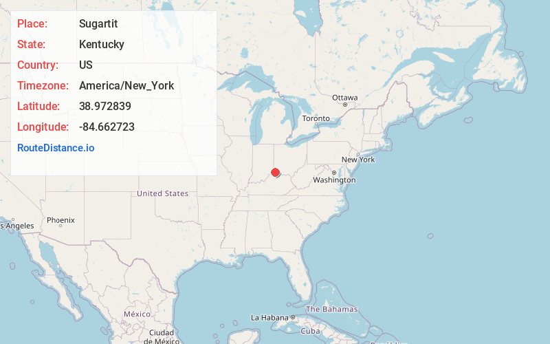
Kentucky
US
America/New_York
Location Information
-
Full AddressSugartit, KY 41042
-
Coordinates38.9728391, -84.6627229
-
LocationKentucky , US
-
TimezoneAmerica/New_York
-
Current Local Time12:38:07 PM America/New_YorkSaturday, May 3, 2025
-
Page Views0
Directions to Nearest Cities
About Sugartit
Sugartit is a rural community in Boone County, Kentucky, United States. It was located at the intersection of U.S. Route 42 and Kentucky Route 237 between the cities of Florence and Union. Sugartit has been noted for its unusual place name.
The community no longer exists and has mostly been annexed into Florence.
Nearby Places
Found 10 places within 50 miles

Union
2.1 mi
3.4 km
Union, KY
Get directions

Oakbrook
2.2 mi
3.5 km
Oakbrook, KY
Get directions
Devon
2.5 mi
4.0 km
Devon, KY 41042
Get directions

Florence
2.6 mi
4.2 km
Florence, KY
Get directions
Limaburg
3.5 mi
5.6 km
Limaburg, KY 41042
Get directions

Elsmere
4.2 mi
6.8 km
Elsmere, KY
Get directions

Erlanger
4.5 mi
7.2 km
Erlanger, KY
Get directions
Ricedale
4.8 mi
7.7 km
Ricedale, KY 41051
Get directions

Burlington
5.0 mi
8.0 km
Burlington, KY 41005
Get directions

Edgewood
5.4 mi
8.7 km
Edgewood, KY
Get directions
Union
2.1 mi
3.4 km
Union, KY
Oakbrook
2.2 mi
3.5 km
Oakbrook, KY
Devon
2.5 mi
4.0 km
Devon, KY 41042
Florence
2.6 mi
4.2 km
Florence, KY
Limaburg
3.5 mi
5.6 km
Limaburg, KY 41042
Elsmere
4.2 mi
6.8 km
Elsmere, KY
Erlanger
4.5 mi
7.2 km
Erlanger, KY
Ricedale
4.8 mi
7.7 km
Ricedale, KY 41051
Burlington
5.0 mi
8.0 km
Burlington, KY 41005
Edgewood
5.4 mi
8.7 km
Edgewood, KY
Location Links
Local Weather
Weather Information
Coming soon!
Location Map
Static map view of Sugartit, Kentucky
Browse Places by Distance
Places within specific distances from Sugartit
Short Distances
Long Distances
Click any distance to see all places within that range from Sugartit. Distances shown in miles (1 mile ≈ 1.61 kilometers).