Distance to Sullivan County, Pennsylvania

Calculating Your Route
Just a moment while we process your request...
Location Information
-
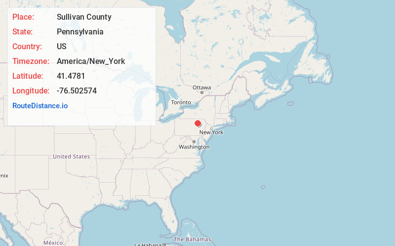
Full AddressSullivan County, PA
-
Coordinates41.4781004, -76.5025742
-
LocationPennsylvania , US
-
TimezoneAmerica/New_York
-
Current Local Time5:20:45 AM America/New_YorkMonday, June 30, 2025
-
Page Views0
About Sullivan County
Sullivan County is a county in the Commonwealth of Pennsylvania. As of the 2020 census, the population was 5,840, making it the second-least populous county in Pennsylvania. Its county seat is Laporte. The county was created on March 15, 1847, from part of Lycoming County and named for Major General John Sullivan.


Nearby Places
Found 10 places within 50 miles

Cherry Township
6.0 mi
9.7 km
Cherry Township, PA
Get directions

Loyalsock State Forest
11.5 mi
18.5 km
Loyalsock State Forest, Fox Township, PA 18616
Get directions

Muncy Creek
12.6 mi
20.3 km
Muncy Creek, Pennsylvania
Get directions

Monroe
16.3 mi
26.2 km
Monroe, PA 18832
Get directions

Hughesville
20.0 mi
32.2 km
Hughesville, PA 17737
Get directions

Towanda
20.2 mi
32.5 km
Towanda, PA 18848
Get directions

Benton
20.5 mi
33.0 km
Benton, PA 17814
Get directions
Canton
21.9 mi
35.2 km
Canton, PA 17724
Get directions
Greenwood
23.8 mi
38.3 km
Greenwood, PA 17846
Get directions

Muncy
23.9 mi
38.5 km
Muncy, PA 17756
Get directions
Location Links
Local Weather
Weather Information
Coming soon!
Location Map
Static map view of Sullivan County, Pennsylvania
Browse Places by Distance
Places within specific distances from Sullivan County
Short Distances
Long Distances
Click any distance to see all places within that range from Sullivan County. Distances shown in miles (1 mile ≈ 1.61 kilometers).