Distance to Sullivan Township, Illinois

Calculating Your Route
Just a moment while we process your request...
Location Information
-
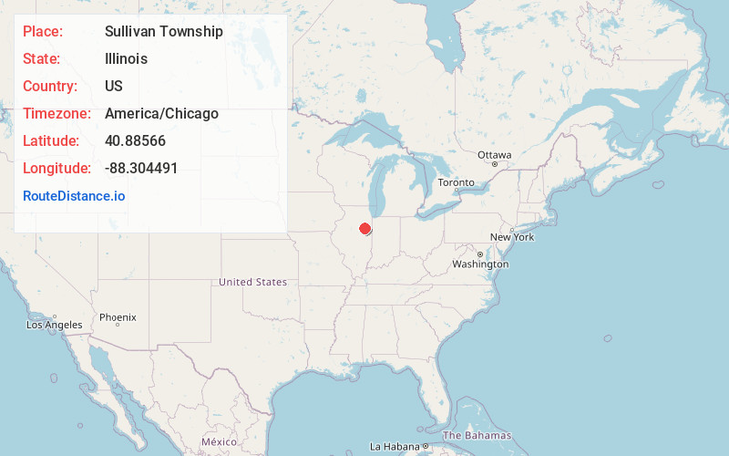
Full AddressSullivan Township, IL
-
Coordinates40.8856602, -88.3044908
-
LocationSullivan Township , Illinois , US
-
TimezoneAmerica/Chicago
-
Current Local Time8:22:07 AM America/ChicagoMonday, June 2, 2025
-
Page Views0
About Sullivan Township
Sullivan Township is located in Livingston County, Illinois. As of the 2010 census, its population was 724 and it contained 354 housing units. Sullivan Township formed from Saunemin Township in 1863.
Nearby Places
Found 10 places within 50 miles

Cullom
1.9 mi
3.1 km
Cullom, IL 60929
Get directions
Griswold
3.2 mi
5.1 km
Griswold, Sullivan Township, IL 60929
Get directions
Charlotte
4.6 mi
7.4 km
Charlotte, IL 60921
Get directions

Kempton
4.9 mi
7.9 km
Kempton, IL 60946
Get directions
Scovel
5.2 mi
8.4 km
Scovel, IL 61769
Get directions

Saunemin
5.3 mi
8.5 km
Saunemin, IL 61769
Get directions
Emington
6.4 mi
10.3 km
Emington, IL 60934
Get directions
Wing
6.8 mi
10.9 km
Wing, IL 61741
Get directions
Eylar
8.0 mi
12.9 km
Eylar, IL 61769
Get directions

Chatsworth
9.1 mi
14.6 km
Chatsworth, IL 60921
Get directions
Location Links
Local Weather
Weather Information
Coming soon!
Location Map
Static map view of Sullivan Township, Illinois
Browse Places by Distance
Places within specific distances from Sullivan Township
Short Distances
Long Distances
Click any distance to see all places within that range from Sullivan Township. Distances shown in miles (1 mile ≈ 1.61 kilometers).