Distance to Sully Springs, North Dakota

Calculating Your Route
Just a moment while we process your request...
Location Information
-
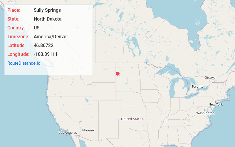
Full AddressSully Springs, ND 58622
-
Coordinates46.86722, -103.39111
-
LocationSully Springs , North Dakota , US
-
TimezoneAmerica/Denver
-
Current Local Time10:13:36 AM America/DenverThursday, May 22, 2025
-
Page Views0
About Sully Springs
Sully Springs is an unincorporated area and ghost town in Billings County, North Dakota, United States. It was established along the Northern Pacific Railroad tracks and named for General Alfred Sully, who had camped in the area.
Nearby Places
Found 10 places within 50 miles

Medora
7.1 mi
11.4 km
Medora, ND 58645
Get directions

Belfield
9.1 mi
14.6 km
Belfield, ND 58622
Get directions

South Heart
18.9 mi
30.4 km
South Heart, ND
Get directions

Sentinel Butte
21.4 mi
34.4 km
Sentinel Butte, ND 58654
Get directions
Amidon
26.8 mi
43.1 km
Amidon, ND 58620
Get directions

Dickinson
28.4 mi
45.7 km
Dickinson, ND 58601
Get directions

Beach
29.2 mi
47.0 km
Beach, ND 58621
Get directions
Golva
29.6 mi
47.6 km
Golva, ND 58632
Get directions
Lehigh
32.9 mi
52.9 km
Lehigh, ND 58601
Get directions

New England
33.6 mi
54.1 km
New England, ND 58647
Get directions
Location Links
Local Weather
Weather Information
Coming soon!
Location Map
Static map view of Sully Springs, North Dakota
Browse Places by Distance
Places within specific distances from Sully Springs
Short Distances
Long Distances
Click any distance to see all places within that range from Sully Springs. Distances shown in miles (1 mile ≈ 1.61 kilometers).