Distance to Sulphur, Nevada

Calculating Your Route
Just a moment while we process your request...
Location Information
-
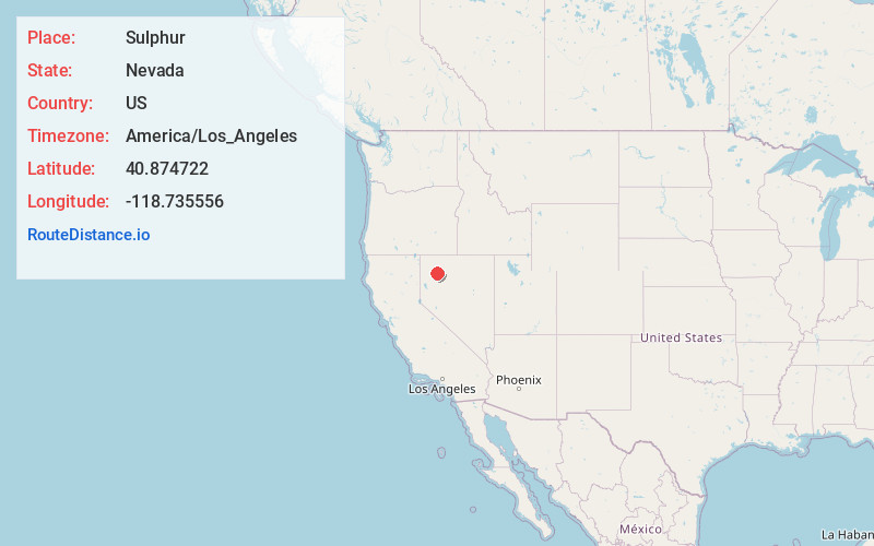
Full AddressSulphur, NV 89445
-
Coordinates40.874722, -118.735556
-
LocationSulphur , Nevada , US
-
TimezoneAmerica/Los_Angeles
-
Current Local Time10:37:26 AM America/Los_AngelesWednesday, June 18, 2025
-
Page Views0
About Sulphur
Sulphur, Nevada, is a ghost town in Humboldt County, Nevada that was a Feather River Route station in the Black Rock Desert along the Kamma Mountains.


Nearby Places
Found 6 places within 50 miles

Imlay
34.0 mi
54.7 km
Imlay, NV 89418
Get directions

Gerlach
36.0 mi
57.9 km
Gerlach, NV 89412
Get directions

Humboldt River Ranch
36.9 mi
59.4 km
Humboldt River Ranch, NV
Get directions

Empire
37.9 mi
61.0 km
Empire, NV 89405
Get directions
Unionville
43.8 mi
70.5 km
Unionville, NV 89418
Get directions

Lovelock
50.0 mi
80.5 km
Lovelock, NV 89419
Get directions
Location Links
Local Weather
Weather Information
Coming soon!
Location Map
Static map view of Sulphur, Nevada
Browse Places by Distance
Places within specific distances from Sulphur
Short Distances
Long Distances
Click any distance to see all places within that range from Sulphur. Distances shown in miles (1 mile ≈ 1.61 kilometers).