Distance to Sumner, Texas

Calculating Your Route
Just a moment while we process your request...
Location Information
-
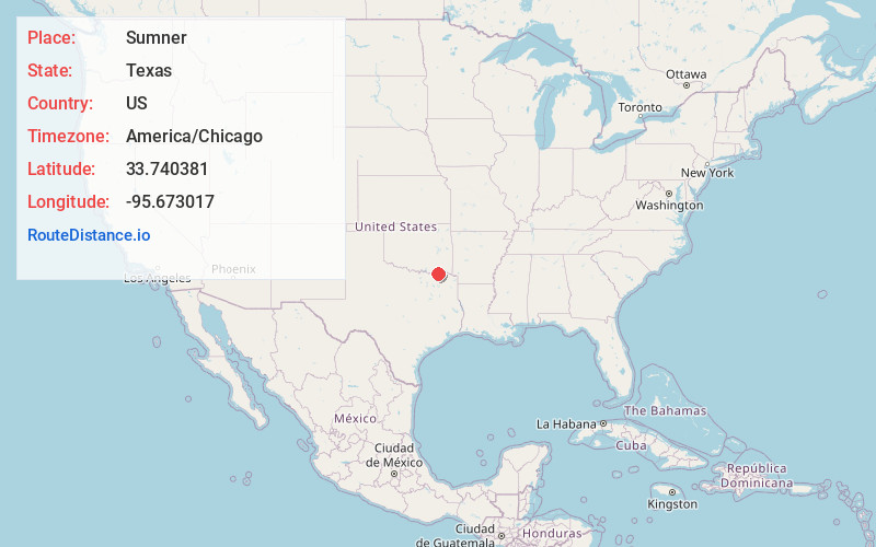
Full AddressSumner, TX 75486
-
Coordinates33.7403807, -95.6730173
-
LocationSumner , Texas , US
-
TimezoneAmerica/Chicago
-
Current Local Time6:37:43 PM America/ChicagoTuesday, May 27, 2025
-
Page Views0
About Sumner
Sumner is an unincorporated community in Lamar County, Texas, United States. It is 12 miles west of Paris. The ZIP Code for Sumner is 75486.
Nearby Places
Found 10 places within 50 miles

Emberson
1.8 mi
2.9 km
Emberson, TX 75486
Get directions
Hopewell
3.5 mi
5.6 km
Hopewell, TX 75460
Get directions
Caviness
3.6 mi
5.8 km
Caviness, TX 75460
Get directions
Maxey
5.2 mi
8.4 km
Maxey, TX 75421
Get directions
Toco
6.1 mi
9.8 km
Toco, TX 75421
Get directions
Brookston
8.3 mi
13.4 km
Brookston, TX 75421
Get directions

Paris
8.7 mi
14.0 km
Paris, TX
Get directions
Georgia
9.1 mi
14.6 km
Georgia, TX 75486
Get directions
Forest Chapel
9.2 mi
14.8 km
Forest Chapel, TX 75411
Get directions

Powderly
9.9 mi
15.9 km
Powderly, TX 75473
Get directions
Location Links
Local Weather
Weather Information
Coming soon!
Location Map
Static map view of Sumner, Texas
Browse Places by Distance
Places within specific distances from Sumner
Short Distances
Long Distances
Click any distance to see all places within that range from Sumner. Distances shown in miles (1 mile ≈ 1.61 kilometers).