Distance to Sumnerville, Kansas

Calculating Your Route
Just a moment while we process your request...
Location Information
-
Full AddressSumnerville, KS 67467
-
Coordinates39.1975, -97.73611
-
LocationSumnerville , Kansas , US
-
TimezoneAmerica/Chicago
-
Current Local Time4:21:46 PM America/ChicagoFriday, May 30, 2025
-
Page Views0
About Sumnerville
Sumnerville is an unincorporated community in Ottawa County, Kansas, United States. It is located north of Minneapolis.
Nearby Places
Found 10 places within 50 miles

Minneapolis
5.5 mi
8.9 km
Minneapolis, KS 67467
Get directions

Delphos
5.6 mi
9.0 km
Delphos, KS 67436
Get directions
Brewer
5.8 mi
9.3 km
Brewer, Center Township, KS 67467
Get directions
Lindsey
7.8 mi
12.6 km
Lindsey, Concord Township, KS 67467
Get directions
Ada
8.8 mi
14.2 km
Ada, KS 67467
Get directions

Wells
10.7 mi
17.2 km
Wells, KS 67467
Get directions
Glasco
12.4 mi
20.0 km
Glasco, KS 67445
Get directions
Milo
12.5 mi
20.1 km
Milo, Salt Creek Township, KS 67418
Get directions
Bennington
13.8 mi
22.2 km
Bennington, KS 67422
Get directions
Tescott
15.1 mi
24.3 km
Tescott, KS 67484
Get directions
Location Links
Local Weather
Weather Information
Coming soon!
Location Map
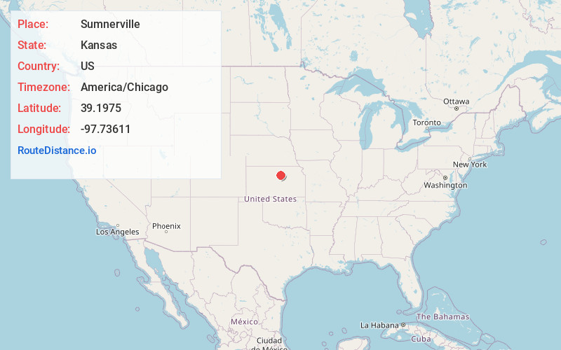
Static map view of Sumnerville, Kansas
Browse Places by Distance
Places within specific distances from Sumnerville
Short Distances
Long Distances
Click any distance to see all places within that range from Sumnerville. Distances shown in miles (1 mile ≈ 1.61 kilometers).