Distance to Sumter County, Alabama

Calculating Your Route
Just a moment while we process your request...
Location Information
-
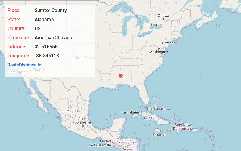
Full AddressSumter County, AL
-
Coordinates32.6155551, -88.2461183
-
LocationAlabama , US
-
TimezoneAmerica/Chicago
-
Current Local Time9:31:31 PM America/ChicagoMonday, June 9, 2025
-
Page Views0
About Sumter County
Sumter County is a county located in the west central portion of Alabama. At the 2020 census, the population was 12,345. Its county seat is Livingston. Its name is in honor of General Thomas Sumter of South Carolina. The University of West Alabama is in Livingston.


Nearby Places
Found 10 places within 50 miles

Boyd
3.4 mi
5.5 km
Boyd, AL 35470
Get directions

Livingston
4.1 mi
6.6 km
Livingston, AL
Get directions
Sledge
6.9 mi
11.1 km
Sledge, AL 35459
Get directions
Epes
8.7 mi
14.0 km
Epes, AL
Get directions
Emelle
8.8 mi
14.2 km
Emelle, AL 35459
Get directions

York
9.4 mi
15.1 km
York, AL 36925
Get directions
Scratch Hill
11.8 mi
19.0 km
Scratch Hill, AL 36925
Get directions
Williams
11.9 mi
19.2 km
Williams, AL 36925
Get directions
Bellamy
13.3 mi
21.4 km
Bellamy, AL
Get directions
Coatopa
13.7 mi
22.0 km
Coatopa, AL 35470
Get directions
Location Links
Local Weather
Weather Information
Coming soon!
Location Map
Static map view of Sumter County, Alabama
Browse Places by Distance
Places within specific distances from Sumter County
Short Distances
Long Distances
Click any distance to see all places within that range from Sumter County. Distances shown in miles (1 mile ≈ 1.61 kilometers).