Distance to Sun City, California

Calculating Your Route
Just a moment while we process your request...
Location Information
-
Full AddressSun City, Menifee, CA
-
Coordinates33.7091878, -117.1972566
-
NeighborhoodSun City
-
LocationMenifee , California , US
-
TimezoneAmerica/Los_Angeles
-
Current Local Time6:36:09 PM America/Los_AngelesFriday, May 30, 2025
-
Page Views0
About Sun City
Sun City is a former census-designated place in Riverside County, California, United States, and now a neighborhood of the city of Menifee, California. Along with the neighboring communities of Quail Valley and Menifee, it was incorporated as part of the City of Menifee on October 1, 2008.


Nearby Places
Found 10 places within 50 miles

Menifee
1.1 mi
1.8 km
Menifee, CA
Get directions

Romoland
4.1 mi
6.6 km
Romoland, CA
Get directions

Ellis
4.5 mi
7.2 km
Ellis, Perris, CA 92570
Get directions

Canyon Lake
4.7 mi
7.6 km
Canyon Lake, CA 92587
Get directions

Good Hope Mine
5.5 mi
8.9 km
Good Hope Mine, Meadowbrook, CA 92570
Get directions

Homeland
5.6 mi
9.0 km
Homeland, CA
Get directions
Meadowbrook
5.6 mi
9.0 km
Meadowbrook, CA 92570
Get directions

Perris
5.6 mi
9.0 km
Perris, CA
Get directions

Winchester
6.5 mi
10.5 km
Winchester, CA
Get directions

Nuevo
7.0 mi
11.3 km
Nuevo, CA
Get directions
Location Links
Local Weather
Weather Information
Coming soon!
Location Map
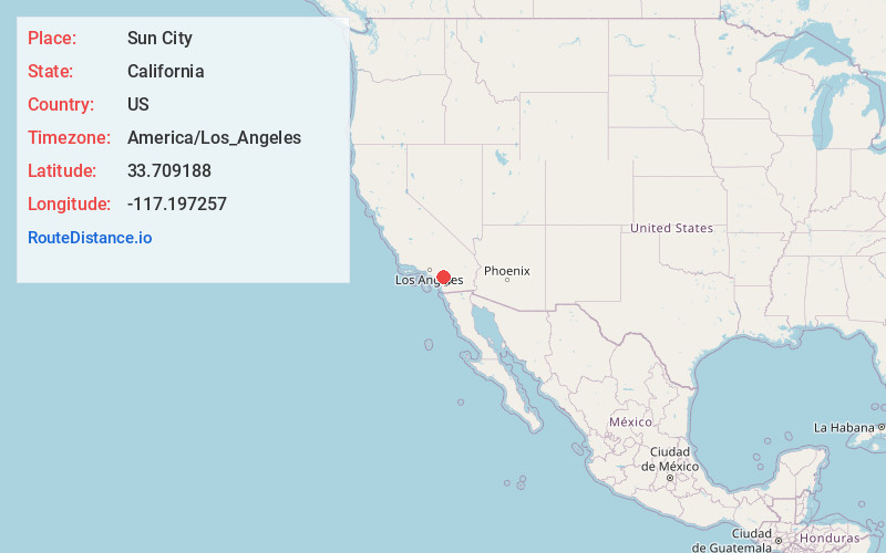
Static map view of Sun City, California
Browse Places by Distance
Places within specific distances from Sun City
Short Distances
Long Distances
Click any distance to see all places within that range from Sun City. Distances shown in miles (1 mile ≈ 1.61 kilometers).