Distance to Suntex, Oregon

Calculating Your Route
Just a moment while we process your request...
Location Information
-
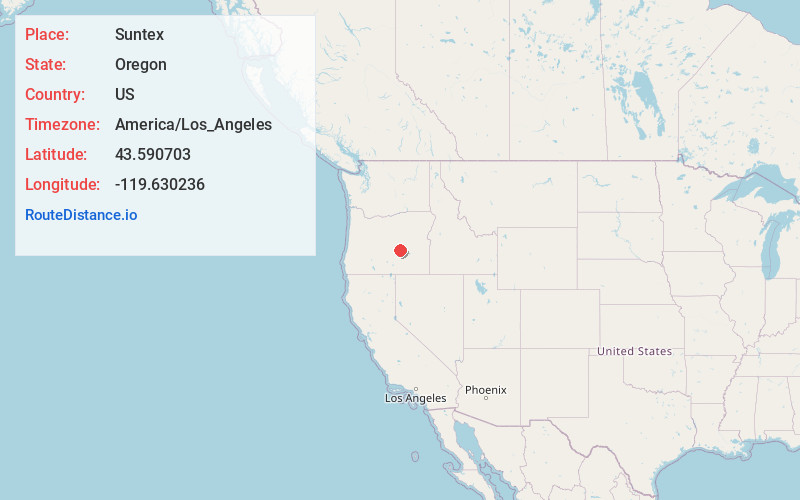
Full AddressSuntex, OR 97758
-
Coordinates43.5907026, -119.6302363
-
LocationSuntex , Oregon , US
-
TimezoneAmerica/Los_Angeles
-
Current Local Time6:48:51 PM America/Los_AngelesSaturday, May 31, 2025
-
Page Views0
About Suntex
Suntex is an unincorporated community in Harney County, in the U.S. state of Oregon. It was established with the placement of a post office in the valley of Silver Creek west of Burns and north of U.S. Route 20.
Nearby Places
Found 10 places within 50 miles

Riley
7.2 mi
11.6 km
Riley, OR 97758
Get directions

Wagontire
26.6 mi
42.8 km
Wagontire, OR 97758
Get directions

Hines
27.6 mi
44.4 km
Hines, OR
Get directions

Burns
28.8 mi
46.3 km
Burns, OR 97720
Get directions

Hampton
30.8 mi
49.6 km
Hampton, OR 97712
Get directions

Izee
35.1 mi
56.5 km
Izee, OR 97820
Get directions

Narrows
40.3 mi
64.9 km
Narrows, OR 97721
Get directions
Harney
40.6 mi
65.3 km
Harney, OR 97720
Get directions

Paulina
41.0 mi
66.0 km
Paulina, OR 97751
Get directions
Trout Creek
41.6 mi
66.9 km
Trout Creek, OR 97720
Get directions
Location Links
Local Weather
Weather Information
Coming soon!
Location Map
Static map view of Suntex, Oregon
Browse Places by Distance
Places within specific distances from Suntex
Short Distances
Long Distances
Click any distance to see all places within that range from Suntex. Distances shown in miles (1 mile ≈ 1.61 kilometers).