Distance to Sutphen, Kansas

Calculating Your Route
Just a moment while we process your request...
Location Information
-
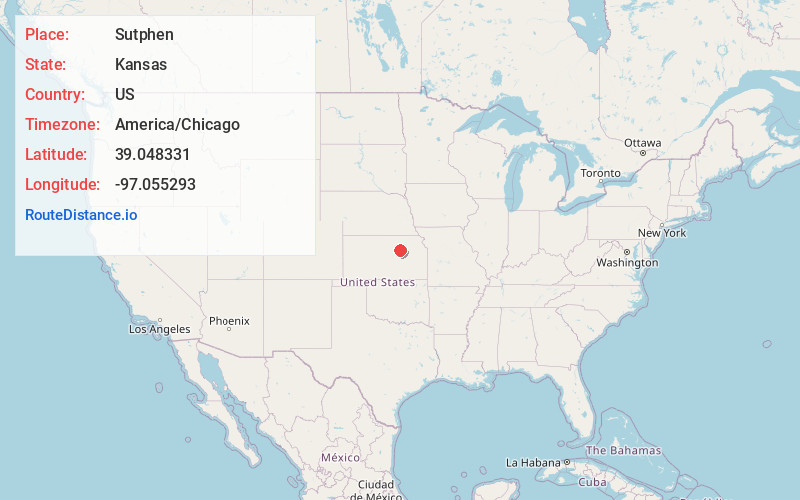
Full AddressSutphen, Sherman Township, KS 67431
-
Coordinates39.0483309, -97.0552927
-
LocationSherman Township , Kansas , US
-
TimezoneAmerica/Chicago
-
Current Local Time10:54:41 PM America/ChicagoFriday, June 27, 2025
-
Page Views0
About Sutphen
Sutphen is an unincorporated community in Dickinson County, Kansas, United States. It is located north of the intersection of 3100 Ave and Paint Rd.
Nearby Places
Found 10 places within 50 miles

Moonlight
4.0 mi
6.4 km
Moonlight, Hayes Township, KS 67410
Get directions

Chapman
5.5 mi
8.9 km
Chapman, KS 67431
Get directions
Buckeye
6.0 mi
9.7 km
Buckeye, Cheever Township, KS 67410
Get directions
Detroit
8.5 mi
13.7 km
Detroit, KS 67410
Get directions
Kansas Falls
8.8 mi
14.2 km
Kansas Falls, Smoky Hill Township, KS 66441
Get directions
Enterprise
10.6 mi
17.1 km
Enterprise, KS 67441
Get directions
Talmage
11.1 mi
17.9 km
Talmage, KS
Get directions

Milford
11.6 mi
18.7 km
Milford, KS 66514
Get directions

Wakefield
11.8 mi
19.0 km
Wakefield, KS 67487
Get directions

Junction City
12.1 mi
19.5 km
Junction City, KS
Get directions
Location Links
Local Weather
Weather Information
Coming soon!
Location Map
Static map view of Sutphen, Kansas
Browse Places by Distance
Places within specific distances from Sutphen
Short Distances
Long Distances
Click any distance to see all places within that range from Sutphen. Distances shown in miles (1 mile ≈ 1.61 kilometers).