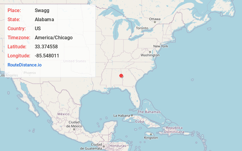
Distance to Swagg, Alabama

Calculating Your Route
Just a moment while we process your request...
Location Information
-
Full AddressSwagg, AL 36278
-
Coordinates33.374558, -85.5480106
-
LocationAlabama , US
-
TimezoneAmerica/Chicago
-
Current Local Time8:14:02 PM America/ChicagoWednesday, June 25, 2025
-
Page Views0
Nearby Places
Found 10 places within 50 miles

Milner
1.9 mi
3.1 km
Milner, AL 36278
Get directions
Rockdale
3.7 mi
6.0 km
Rockdale, AL 36278
Get directions
Fuller Crossroad
4.0 mi
6.4 km
Fuller Crossroad, AL 36266
Get directions
Morrison Crossroad
4.8 mi
7.7 km
Morrison Crossroad, AL 36280
Get directions
Wildwood
5.1 mi
8.2 km
Wildwood, AL 36278
Get directions
Ofelia
5.4 mi
8.7 km
Ofelia, AL 36266
Get directions
Folsom
5.5 mi
8.9 km
Folsom, AL 36278
Get directions

Wedowee
5.8 mi
9.3 km
Wedowee, AL 36278
Get directions
Pine Tuckey
6.8 mi
10.9 km
Pine Tuckey, AL 36264
Get directions
Newell
7.7 mi
12.4 km
Newell, AL 36280
Get directions
Location Links
Local Weather
Weather Information
Coming soon!
Location Map
Static map view of Swagg, Alabama
Browse Places by Distance
Places within specific distances from Swagg
Short Distances
Long Distances
Click any distance to see all places within that range from Swagg. Distances shown in miles (1 mile ≈ 1.61 kilometers).