Distance to Wedowee, Alabama

Calculating Your Route
Just a moment while we process your request...
Location Information
-
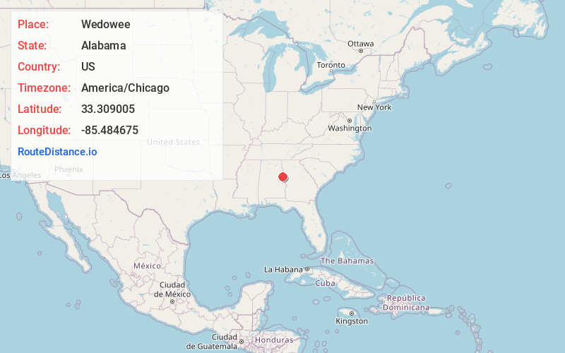
Full AddressWedowee, AL 36278
-
Coordinates33.3090047, -85.484675
-
LocationWedowee , Alabama , US
-
TimezoneAmerica/Chicago
-
Current Local Time1:28:05 AM America/ChicagoFriday, June 20, 2025
-
Page Views0
About Wedowee
Wedowee is a town in Randolph County, Alabama, United States. At the 2010 census the population was 823, up from 818 in 2000. The small town is the county seat of Randolph County. It was initially incorporated in 1836, but its charter lapsed by the late 19th century. It was reincorporated in 1901.


Nearby Places
Found 10 places within 50 miles

Roanoke
12.7 mi
20.4 km
Roanoke, AL 36274
Get directions

Wadley
13.8 mi
22.2 km
Wadley, AL 36276
Get directions

Lineville
15.6 mi
25.1 km
Lineville, AL
Get directions

Ashland
20.4 mi
32.8 km
Ashland, AL 36251
Get directions

Bowdon
20.7 mi
33.3 km
Bowdon, GA 30108
Get directions

Franklin
22.4 mi
36.0 km
Franklin, GA 30217
Get directions

Heflin
23.9 mi
38.5 km
Heflin, AL 36264
Get directions

Choccolocco
27.4 mi
44.1 km
Choccolocco, AL 36207
Get directions

Mt Zion
28.3 mi
45.5 km
Mt Zion, GA
Get directions

La Fayette
28.7 mi
46.2 km
La Fayette, AL 36862
Get directions
Location Links
Local Weather
Weather Information
Coming soon!
Location Map
Static map view of Wedowee, Alabama
Browse Places by Distance
Places within specific distances from Wedowee
Short Distances
Long Distances
Click any distance to see all places within that range from Wedowee. Distances shown in miles (1 mile ≈ 1.61 kilometers).