Distance to Mt Zion, Georgia

Calculating Your Route
Just a moment while we process your request...
Location Information
-
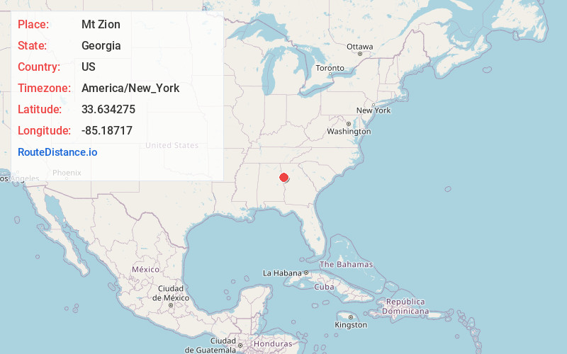
Full AddressMt Zion, GA
-
Coordinates33.6342754, -85.1871703
-
LocationMt Zion , Georgia , US
-
TimezoneAmerica/New_York
-
Current Local Time8:37:09 PM America/New_YorkMonday, June 16, 2025
-
Page Views0
About Mt Zion
Mount Zion is a city in Carroll County, Georgia, United States. The population was 1,696 at the 2010 census.


Nearby Places
Found 10 places within 50 miles

Bremen
6.5 mi
10.5 km
Bremen, GA
Get directions

Carrollton
7.4 mi
11.9 km
Carrollton, GA
Get directions

Bowdon
7.7 mi
12.4 km
Bowdon, GA 30108
Get directions

Tallapoosa
9.6 mi
15.4 km
Tallapoosa, GA
Get directions

Temple
11.4 mi
18.3 km
Temple, GA 30179
Get directions

Villa Rica
16.8 mi
27.0 km
Villa Rica, GA 30180
Get directions

Heflin
22.9 mi
36.9 km
Heflin, AL 36264
Get directions

Chattahoochee Hills
25.1 mi
40.4 km
Chattahoochee Hills, GA
Get directions


Leaflet © OpenStreetMap contributors
Location Links
Local Weather
Weather Information
Coming soon!
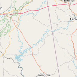
Location Map
Static map view of Mt Zion, Georgia
Browse Places by Distance
Places within specific distances from Mt Zion
Short Distances
Long Distances
Click any distance to see all places within that range from Mt Zion. Distances shown in miles (1 mile ≈ 1.61 kilometers).