Distance to Carrollton, Georgia

Calculating Your Route
Just a moment while we process your request...
Location Information
-
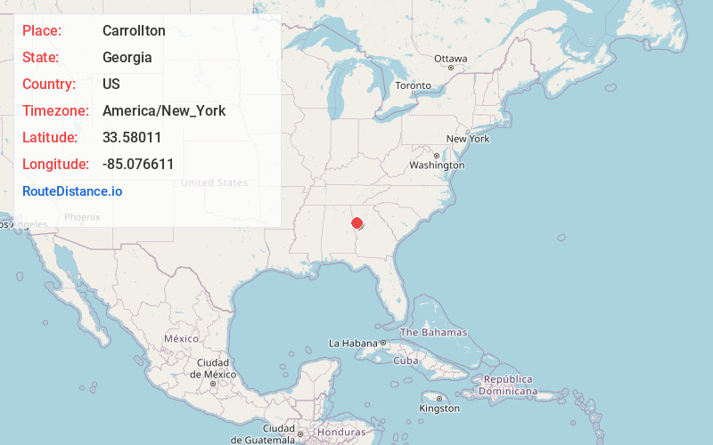
Full AddressCarrollton, GA
-
Coordinates33.5801103, -85.0766113
-
LocationCarrollton , Georgia , US
-
TimezoneAmerica/New_York
-
Current Local Time2:38:57 AM America/New_YorkThursday, June 19, 2025
-
Website
-
Page Views0
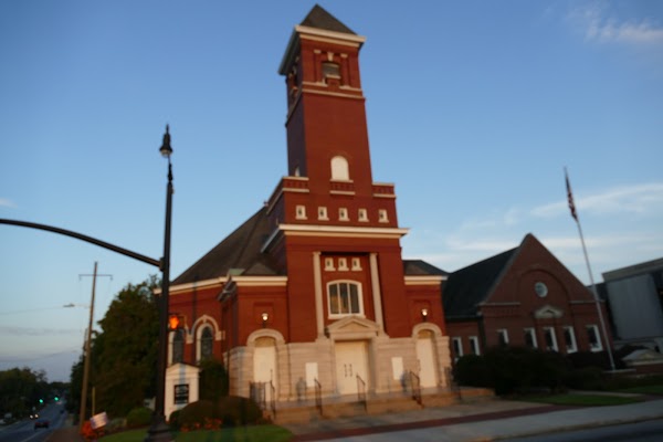
About Carrollton
Carrollton is a city in and the county seat of Carroll County, Georgia, United States. It is within western Georgia, about 45 miles west of Atlanta near the Alabama state line, and is included in the Atlanta metropolitan area. It is the home of the University of West Georgia and West Georgia Technical College.


Nearby Places
Found 10 places within 50 miles

Newnan
21.1 mi
34.0 km
Newnan, GA
Get directions

Douglasville
22.3 mi
35.9 km
Douglasville, GA
Get directions

South Fulton
26.4 mi
42.5 km
South Fulton, GA
Get directions

Union City
30.8 mi
49.6 km
Union City, GA
Get directions

Mableton
32.8 mi
52.8 km
Mableton, GA
Get directions

East Point
37.3 mi
60.0 km
East Point, GA
Get directions

LaGrange
37.7 mi
60.7 km
LaGrange, GA
Get directions

Smyrna
38.5 mi
62.0 km
Smyrna, GA
Get directions

Marietta
39.7 mi
63.9 km
Marietta, GA
Get directions

Kennesaw
40.5 mi
65.2 km
Kennesaw, GA
Get directions
Location Links
Local Weather
Weather Information
Coming soon!
Location Map
Static map view of Carrollton, Georgia
Browse Places by Distance
Places within specific distances from Carrollton
Short Distances
Long Distances
Click any distance to see all places within that range from Carrollton. Distances shown in miles (1 mile ≈ 1.61 kilometers).