Distance to Roanoke, Alabama

Calculating Your Route
Just a moment while we process your request...
Location Information
-
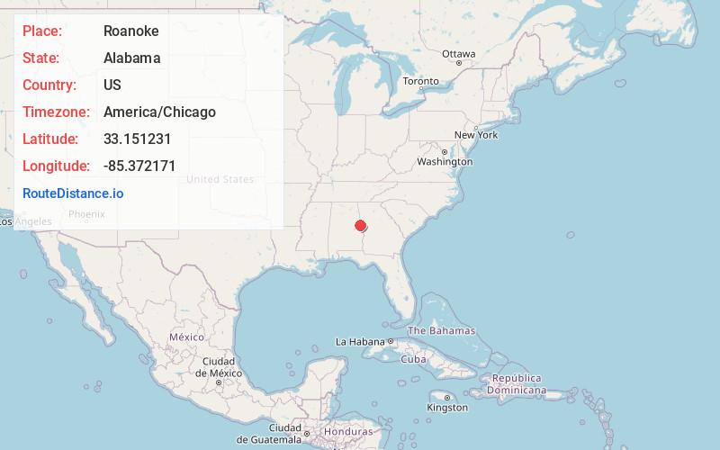
Full AddressRoanoke, AL 36274
-
Coordinates33.1512313, -85.3721708
-
LocationRoanoke , Alabama , US
-
TimezoneAmerica/Chicago
-
Current Local Time8:31:10 AM America/ChicagoWednesday, June 4, 2025
-
Page Views0
About Roanoke
Roanoke is a city in Randolph County, which is in the Piedmont region of eastern Alabama, United States. As of the 2020 census, the population of the city was 5,311, down from 6,074 in 2010 and 6,563 in 2000.


Nearby Places
Found 10 places within 50 miles

LaGrange
21.2 mi
34.1 km
LaGrange, GA
Get directions

Lanett
22.2 mi
35.7 km
Lanett, AL
Get directions

Valley
25.5 mi
41.0 km
Valley, AL 36854
Get directions

Carrollton
34.2 mi
55.0 km
Carrollton, GA
Get directions

Opelika
35.0 mi
56.3 km
Opelika, AL
Get directions

Alexander City
36.6 mi
58.9 km
Alexander City, AL
Get directions

Newnan
36.7 mi
59.1 km
Newnan, GA
Get directions

Auburn
38.0 mi
61.2 km
Auburn, AL
Get directions

Bremen
41.5 mi
66.8 km
Bremen, GA
Get directions

Oxford
41.7 mi
67.1 km
Oxford, AL
Get directions
Location Links
Local Weather
Weather Information
Coming soon!
Location Map
Static map view of Roanoke, Alabama
Browse Places by Distance
Places within specific distances from Roanoke
Short Distances
Long Distances
Click any distance to see all places within that range from Roanoke. Distances shown in miles (1 mile ≈ 1.61 kilometers).