Distance to Swaledale, Iowa

Calculating Your Route
Just a moment while we process your request...
Location Information
-
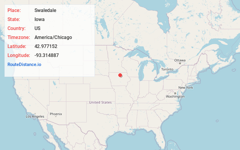
Full AddressSwaledale, IA 50477
-
Coordinates42.9771521, -93.314887
-
LocationSwaledale , Iowa , US
-
TimezoneAmerica/Chicago
-
Current Local Time3:33:50 AM America/ChicagoWednesday, May 28, 2025
-
Page Views0
About Swaledale
Swaledale is a city in Cerro Gordo County, Iowa, United States. The population was 144 at the time of the 2020 census. It is part of the Mason City Micropolitan Statistical Area.

Nearby Places
Found 10 places within 50 miles

Thornton
4.2 mi
6.8 km
Thornton, IA 50479
Get directions

Rockwell
6.2 mi
10.0 km
Rockwell, IA 50469
Get directions
Sheffield
7.7 mi
12.4 km
Sheffield, IA 50475
Get directions
Meservey
9.4 mi
15.1 km
Meservey, IA 50457
Get directions
Chapin
11.0 mi
17.7 km
Chapin, IA
Get directions

Clear Lake
11.9 mi
19.2 km
Clear Lake, IA 50428
Get directions

Ventura
13.3 mi
21.4 km
Ventura, IA
Get directions

Mason City
13.4 mi
21.6 km
Mason City, IA 50401
Get directions
Alexander
14.4 mi
23.2 km
Alexander, IA 50420
Get directions
Klemme
14.7 mi
23.7 km
Klemme, IA 50449
Get directions
Location Links
Local Weather
Weather Information
Coming soon!
Location Map
Static map view of Swaledale, Iowa
Browse Places by Distance
Places within specific distances from Swaledale
Short Distances
Long Distances
Click any distance to see all places within that range from Swaledale. Distances shown in miles (1 mile ≈ 1.61 kilometers).