Distance to Chapin, Iowa

Calculating Your Route
Just a moment while we process your request...
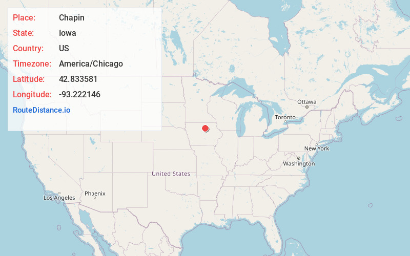
Location Information
-
Full AddressChapin, IA
-
Coordinates42.8335814, -93.2221464
-
LocationChapin , Iowa , US
-
TimezoneAmerica/Chicago
-
Current Local Time2:43:02 PM America/ChicagoFriday, June 20, 2025
-
Page Views0
About Chapin
Chapin is an unincorporated community and census-designated place in northern Franklin County, Iowa, United States. It lies along local roads just off U.S. Route 65, north of the city of Hampton, the county seat of Franklin County.
Nearby Places
Found 10 places within 50 miles

Sheffield
4.2 mi
6.8 km
Sheffield, IA 50475
Get directions

Hampton
6.3 mi
10.1 km
Hampton, IA 50441
Get directions
Latimer
8.9 mi
14.3 km
Latimer, IA 50452
Get directions
Coulter
10.2 mi
16.4 km
Coulter, IA
Get directions

Rockwell
10.6 mi
17.1 km
Rockwell, IA 50469
Get directions
Thornton
11.2 mi
18.0 km
Thornton, IA 50479
Get directions
Geneva
11.9 mi
19.2 km
Geneva, IA 50633
Get directions
Alexander
13.0 mi
20.9 km
Alexander, IA 50420
Get directions

Bradford
13.9 mi
22.4 km
Bradford, IA
Get directions
Dumont
14.0 mi
22.5 km
Dumont, IA 50625
Get directions
Location Links
Local Weather
Weather Information
Coming soon!
Location Map
Static map view of Chapin, Iowa
Browse Places by Distance
Places within specific distances from Chapin
Short Distances
Long Distances
Click any distance to see all places within that range from Chapin. Distances shown in miles (1 mile ≈ 1.61 kilometers).