Distance to Swallowfield, Kentucky

Calculating Your Route
Just a moment while we process your request...
Location Information
-
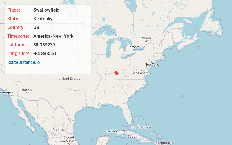
Full AddressSwallowfield, KY 40601
-
Coordinates38.3392368, -84.8485605
-
LocationKentucky , US
-
TimezoneAmerica/New_York
-
Current Local Time4:28:26 AM America/New_YorkWednesday, June 18, 2025
-
Page Views0
About Swallowfield
Swallowfield is an unincorporated community in Franklin County, Kentucky, United States. Its post office is closed. It was also known as Dottsville.
Nearby Places
Found 10 places within 50 miles

Polsgrove
2.1 mi
3.4 km
Polsgrove, KY 40601
Get directions
Peaks Mill
3.4 mi
5.5 km
Peaks Mill, KY 40601
Get directions
Elmville
4.7 mi
7.6 km
Elmville, KY 40379
Get directions
Flag Fork
5.5 mi
8.9 km
Flag Fork, KY 40601
Get directions

Monterey
5.9 mi
9.5 km
Monterey, KY 40359
Get directions
Minorsville
7.9 mi
12.7 km
Minorsville, KY 40379
Get directions
Suterville
8.1 mi
13.0 km
Suterville, KY 40379
Get directions

Lockport
9.3 mi
15.0 km
Lockport, KY 40036
Get directions
Hesler
9.4 mi
15.1 km
Hesler, KY 40359
Get directions

Stamping Ground
10.0 mi
16.1 km
Stamping Ground, KY 40379
Get directions
Location Links
Local Weather
Weather Information
Coming soon!
Location Map
Static map view of Swallowfield, Kentucky
Browse Places by Distance
Places within specific distances from Swallowfield
Short Distances
Long Distances
Click any distance to see all places within that range from Swallowfield. Distances shown in miles (1 mile ≈ 1.61 kilometers).