Distance to Swastika, New York

Calculating Your Route
Just a moment while we process your request...
Location Information
-
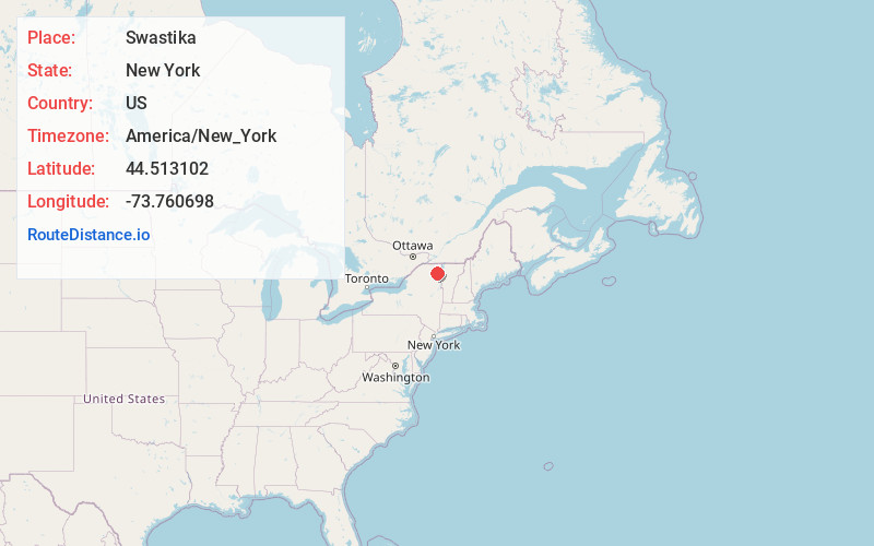
Full AddressSwastika, NY 12985
-
Coordinates44.5131019, -73.7606976
-
LocationSwastika , New York , US
-
TimezoneAmerica/New_York
-
Current Local Time1:41:58 AM America/New_YorkFriday, June 20, 2025
-
Page Views0
About Swastika
Swastika is an unincorporated community and hamlet in the town of Black Brook, Clinton County, New York, United States. The community is 19 miles southwest of Plattsburgh. The area is not very populated and appears as a wide spot on the road with a few buildings.
Nearby Places
Found 10 places within 50 miles

Black Brook
3.9 mi
6.3 km
Black Brook, NY 12912
Get directions

Hawkeye
4.9 mi
7.9 km
Hawkeye, NY 12985
Get directions

Au Sable Forks
6.5 mi
10.5 km
Au Sable Forks, NY 12912
Get directions
Clayburg
6.9 mi
11.1 km
Clayburg, NY 12981
Get directions

Redford
6.9 mi
11.1 km
Redford, NY
Get directions
West Kilns
8.6 mi
13.8 km
West Kilns, NY 12912
Get directions

Wilmington
9.0 mi
14.5 km
Wilmington, NY 12997
Get directions
North Jay
9.0 mi
14.5 km
North Jay, NY 12912
Get directions

Clintonville
9.4 mi
15.1 km
Clintonville, NY 12924
Get directions
Saranac
9.6 mi
15.4 km
Saranac, NY 12981
Get directions
Location Links
Local Weather
Weather Information
Coming soon!
Location Map
Static map view of Swastika, New York
Browse Places by Distance
Places within specific distances from Swastika
Short Distances
Long Distances
Click any distance to see all places within that range from Swastika. Distances shown in miles (1 mile ≈ 1.61 kilometers).