Distance to Sylvanite, Montana

Calculating Your Route
Just a moment while we process your request...
Location Information
-
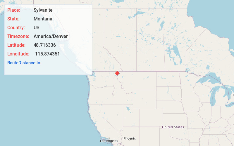
Full AddressSylvanite, MT 59935
-
Coordinates48.7163356, -115.8743506
-
LocationSylvanite , Montana , US
-
TimezoneAmerica/Denver
-
Current Local Time10:34:49 AM America/DenverFriday, May 30, 2025
-
Page Views0
About Sylvanite
Sylvanite is a census-designated place in Lincoln County, Montana, United States. The population was 103 at the 2010 census.
The community is in Kootenai National Forest in northwestern Lincoln County, in the valley of the Yaak River, a south-flowing tributary of the Kootenai River.
Nearby Places
Found 10 places within 50 miles

Yaak
11.0 mi
17.7 km
Yaak, MT 59935
Get directions

Moyie Springs
14.3 mi
23.0 km
Moyie Springs, ID 83845
Get directions

Troy
17.4 mi
28.0 km
Troy, MT 59935
Get directions

Bonners Ferry
20.2 mi
32.5 km
Bonners Ferry, ID 83805
Get directions

Libby
26.9 mi
43.3 km
Libby, MT 59923
Get directions

White Haven
30.4 mi
48.9 km
White Haven, MT 59923
Get directions

Pioneer Junction
30.9 mi
49.7 km
Pioneer Junction, MT 59923
Get directions

Rexford
34.4 mi
55.4 km
Rexford, MT 59930
Get directions
West Kootenai
34.6 mi
55.7 km
West Kootenai, MT 59930
Get directions

East Hope
38.0 mi
61.2 km
East Hope, ID 83836
Get directions
Location Links
Local Weather
Weather Information
Coming soon!
Location Map
Static map view of Sylvanite, Montana
Browse Places by Distance
Places within specific distances from Sylvanite
Short Distances
Long Distances
Click any distance to see all places within that range from Sylvanite. Distances shown in miles (1 mile ≈ 1.61 kilometers).